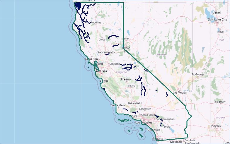
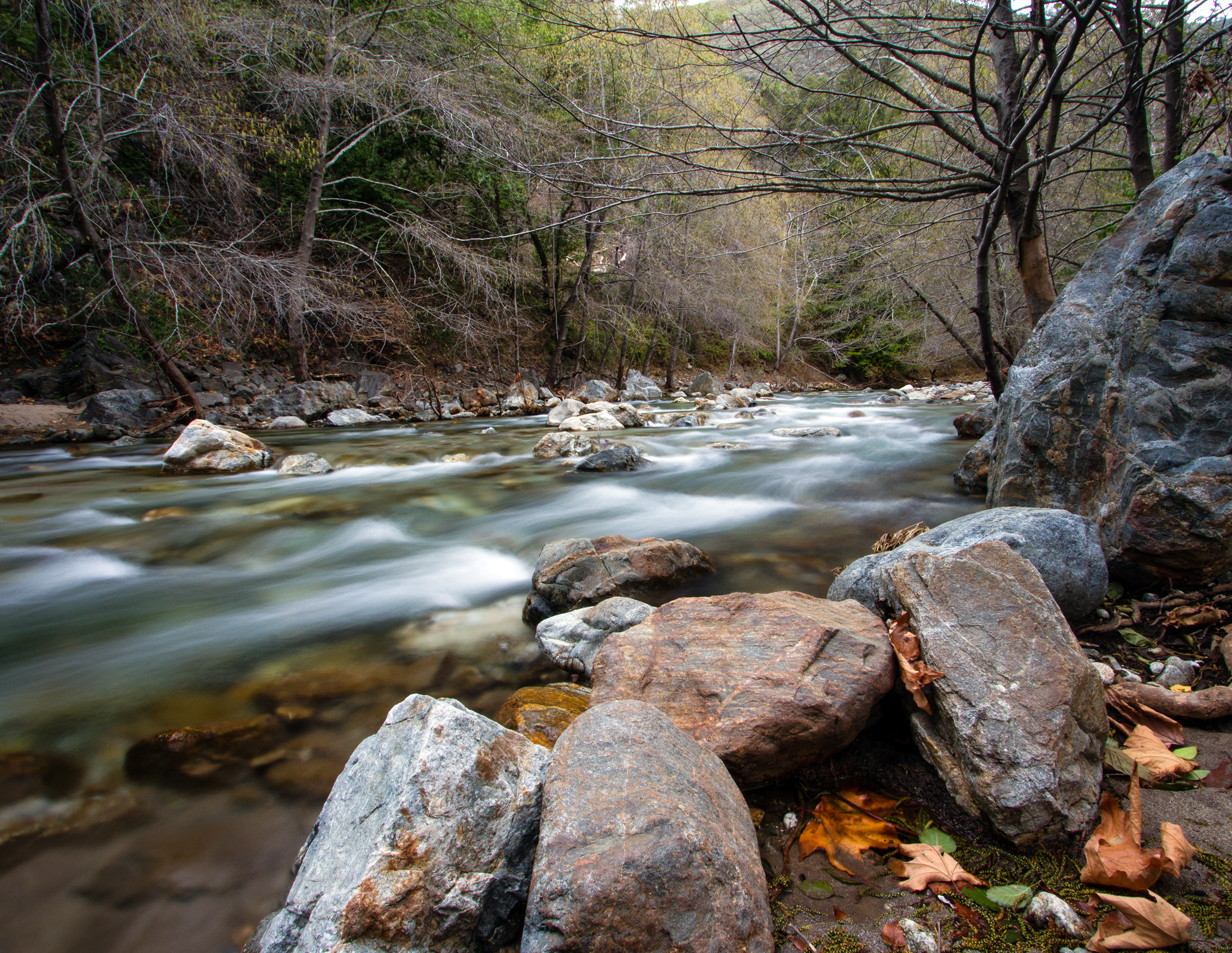
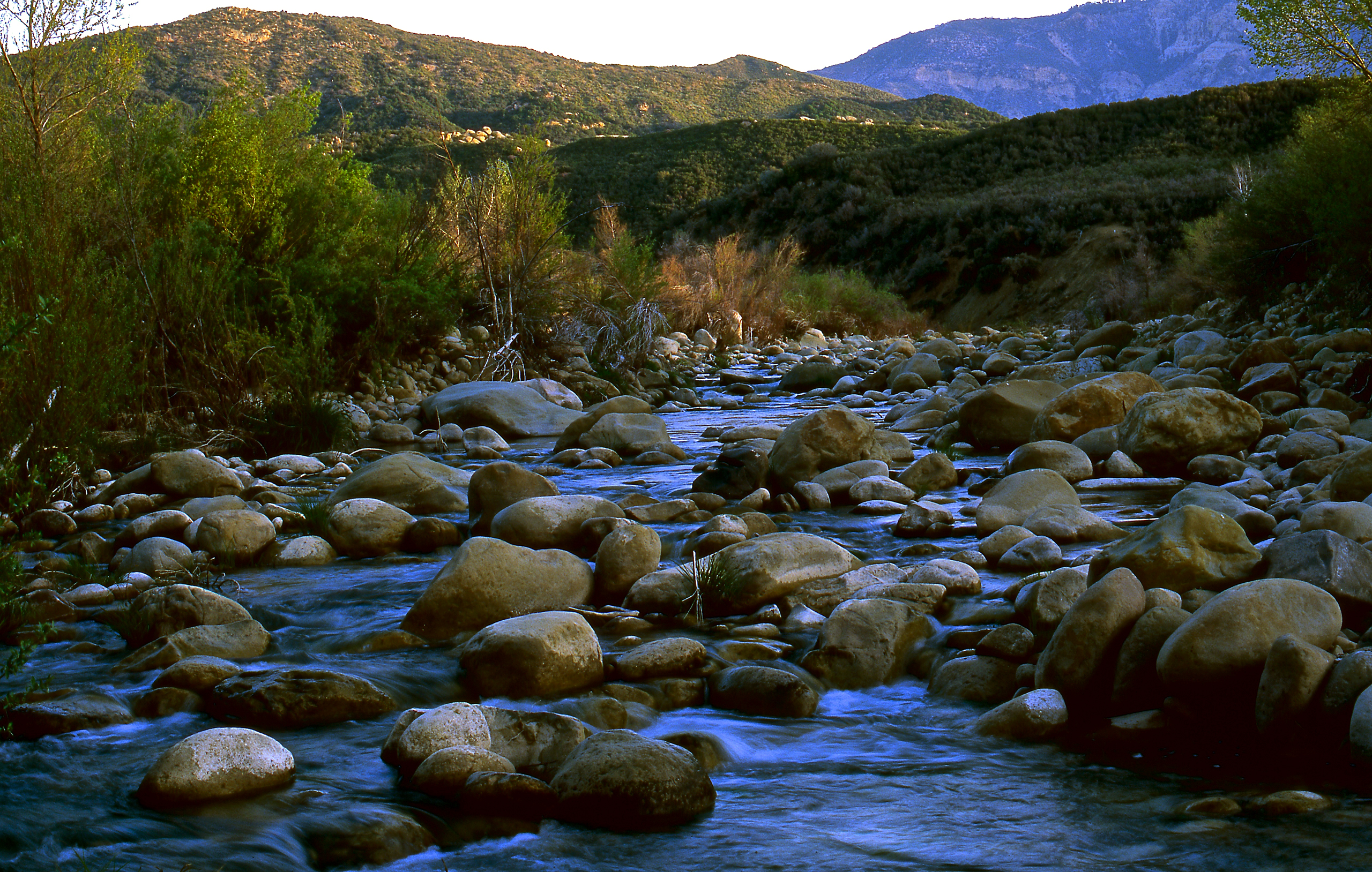
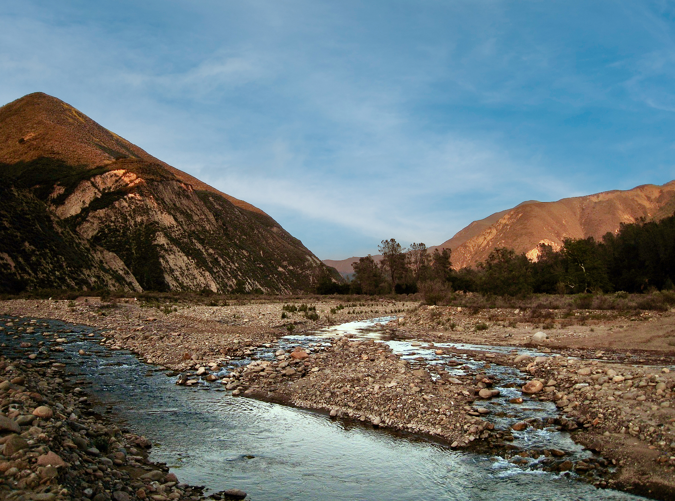
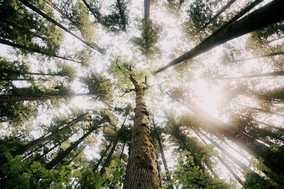
California’s rivers shape the land, support thriving ecosystems, and supply water for millions of people across the state. From the powerful Sacramento River in the north to the desert flows of the Colorado River in the south, California’s waterways are as diverse as its landscapes.
Understanding California Rivers Click here to view the latest map of rivers in California from Interagency Wild and Scenic Rivers Coordinating Council. California’s rivers reflect the diversity of the state’s climate and terrain. In the north, rivers like the Klamath and Smith cut through forested mountains, while in the south, rivers like the Amargosa and Whitewater flow across arid desert landscapes.
Rivers are shaped by seasonal rain, snowmelt, and underground springs, creating lifelines that sustain fish, birds, plants, and people. Some rivers run year-round, while others are intermittent, swelling with winter rains and retreating during the summer dry season.
Historically, California’s rivers supported Indigenous communities and early settlements, and they continue to be critical today for agriculture, drinking water, wildlife habitat, and recreation. Protecting these rivers ensures the health of ecosystems, economies, and future generations.
California Rivers List with Official Links Below, you'll find a comprehensive list of California rivers, based on the latest information from the United State's Interagency Wild and Scenic Rivers Coordinating Council (Rivers.gov ). Each river includes a link to is official website.
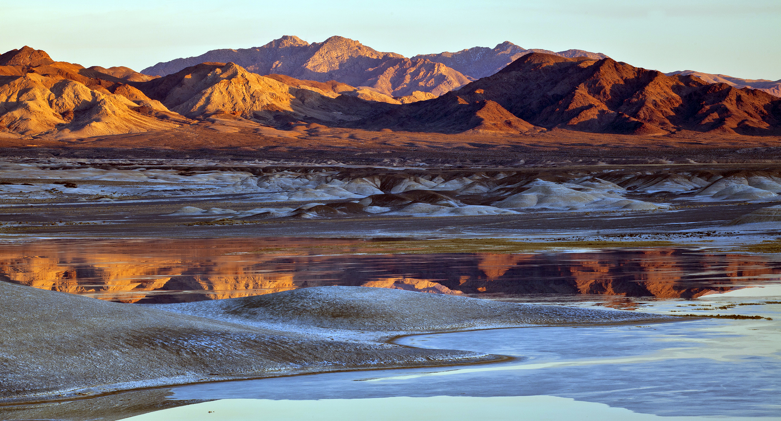
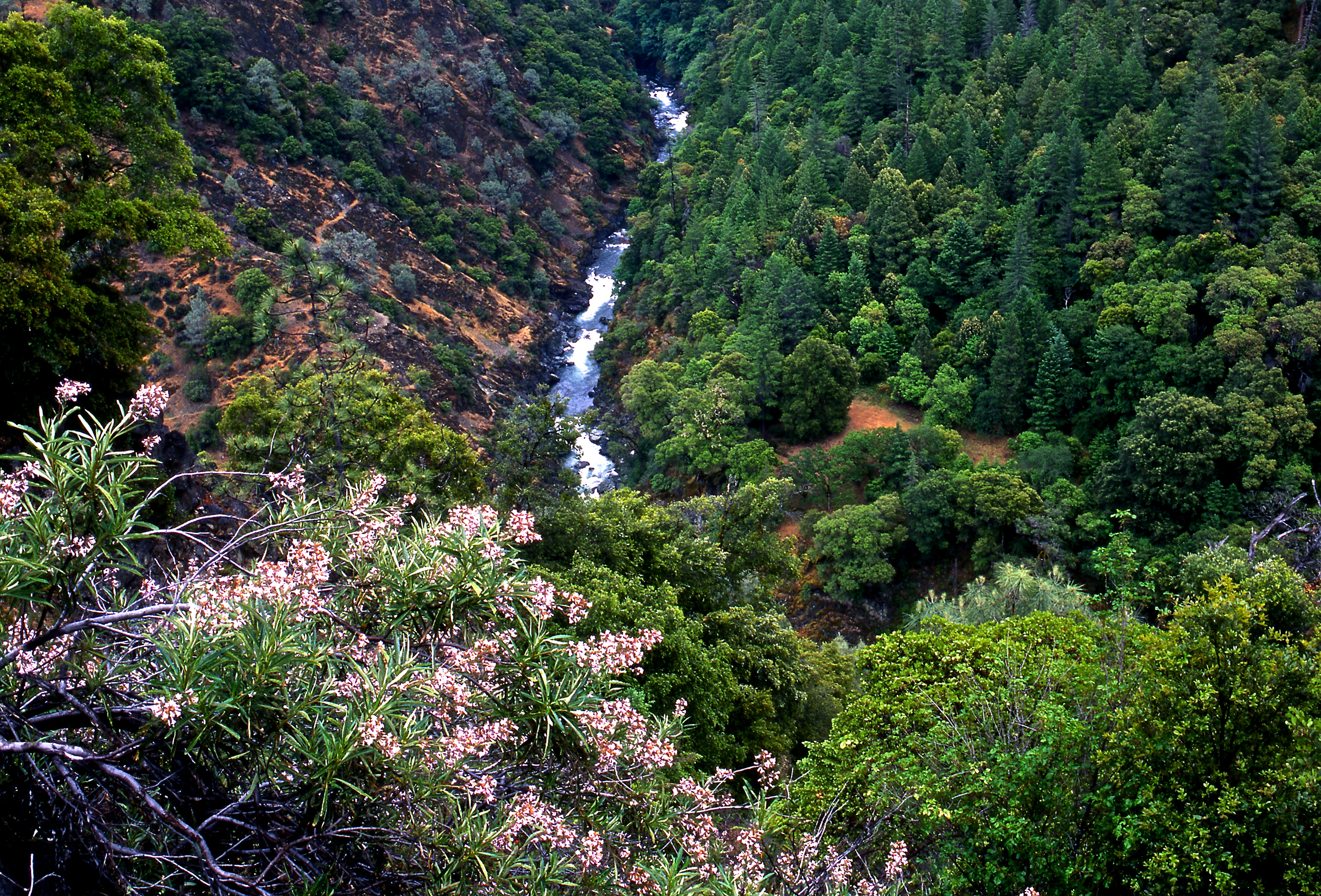
Amargosa River The Amargosa River is a unique desert waterway flowing intermittently through Death Valley. It provides critical habitat for rare desert species.
Amargosa River
Often called the “Crown Jewel of the Mojave Desert,” the Amargosa is the only free-flowing river in the Death Valley region of the Mojave, providing a rare and lush riparian area in the desert. The narrow Amargosa Canyon is known for its dense greenery and the shallow Amargosa River, complete with “hanging gardens” and a small waterfall. The river flows year-round dropping south from Nevada and finally flowing into Death Valley National Park.
American (Lower) River The Lower American River runs through Sacramento and is popular for rafting and fishing. It is a key tributary of the Sacramento River.
American (Lower) River
January 19, 1981. The American River is characterized by long, tree-lines pools separated by gravel bottom riffles. The river is lined with lush riparian growth that includes walnut, oak, cottonwood, and sycamore trees. The riparian hardwood strip along the Lower American River supports a wildlife community similar to the North Coast, with differences associated with high use by the public and many years of influence by civilization. This short stretch of river, flowing through the city of Sacramento, is the most heavily used recreation river in California.
Bautista Creek Bautista Creek flows seasonally through Riverside County. It supports important riparian habitats within a semi-arid landscape.
Bautista Creek
Bautista Creek drains the San Jacinto Mountains and provides an important migration corridor for birds passing from the desert to the valley. The creek and its surrounding riparian area shelter endangered arroyo toads, southwestern willow flycatchers, Quino checkerspot butterflies, the slender-horned spineflower, and many other sensitive species. It contains the largest number of endangered wildlife species on the San Bernardino National Forest.
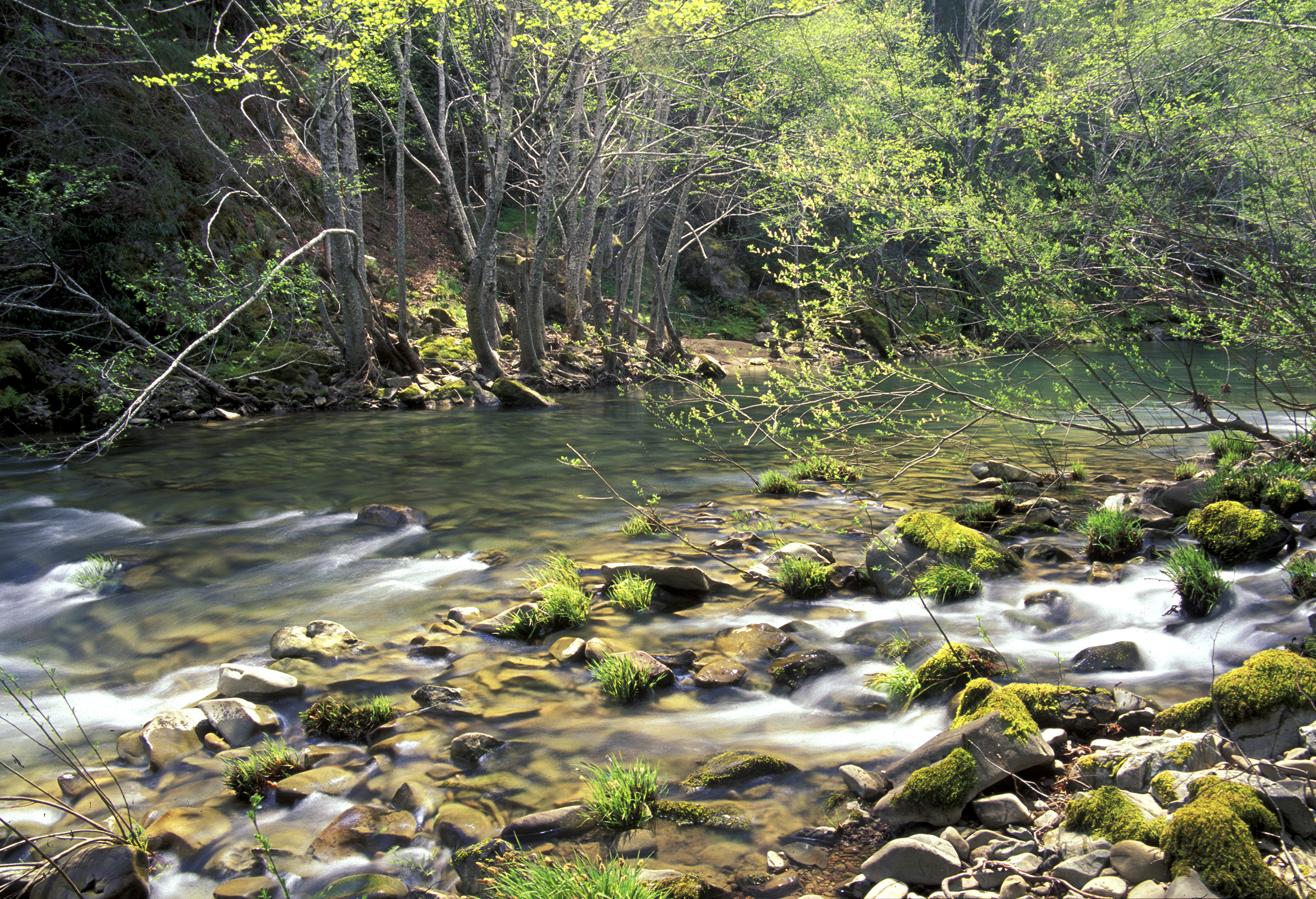
Big Sur River The Big Sur River winds through the lush landscapes of Pfeiffer Big Sur State Park. Its cold, clear waters are vital for steelhead trout.
Big Sur River
Flowing unimpeded from the northern Santa Lucia Mountains to the Pacific Ocean, the Big Sur is a relatively small river added to the federal system by Congress in 1992, as part of the Los Padres Condor Range and Rivers Act, which protected 84 miles of wild and scenic rivers and more than 400,000 acres of wilderness in California’s iconic central coast region. The river’s protected segment begins in the Ventana Wilderness and ends at the boundary between the Wilderness and Pfeiffer Big Sur State Park.
Black Butte River The Black Butte River travels through remote northern California wilderness. It offers pristine scenery and critical fish spawning grounds.
Black Butte River
The rugged Black Butte River flows through the Grindstone and Covelo Ranger Districts of the Mendocino National Forest. An additional wild river segment is included in the designation and encompasses 1.5 miles of Cold Creek from the Mendocino County line on the east to its confluence with the Black Butte River to the west. The Black Butte River terminates at its confluence with the Eel River, also a National Wild and Scenic River, in the vicinity of the Eel River Work Center and the Eel River Campground.
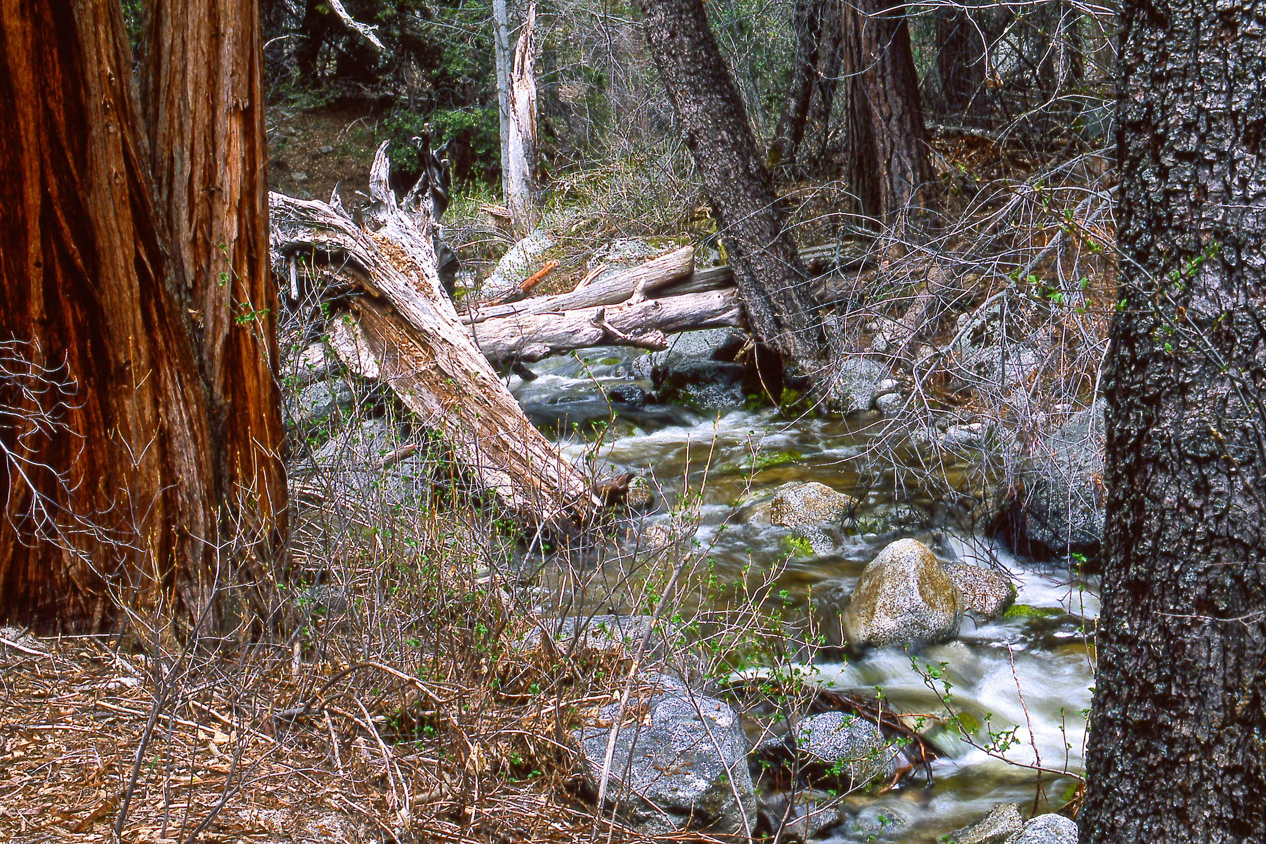
Cottonwood Creek Cottonwood Creek flows through the eastern Sierra Nevada region. It supports a variety of native plant and animal species.
Cottonwood Creek
Cottonwood Creek originates in ancient bristlecone forests and is the longest perennial stream east of the White Mountains. The creek flows eastward from the 14,000-foot crest of the White Mountains and steeply descends through groves of aspen, eventually flowing into a sagebrush desert. Numerous springs feed the creek as it meanders through large meadows in the upper reaches. Stands of aspen and bristlecone pine can be found in the higher elevations, while lower elevations are marked with stands of pinyon and juniper trees.
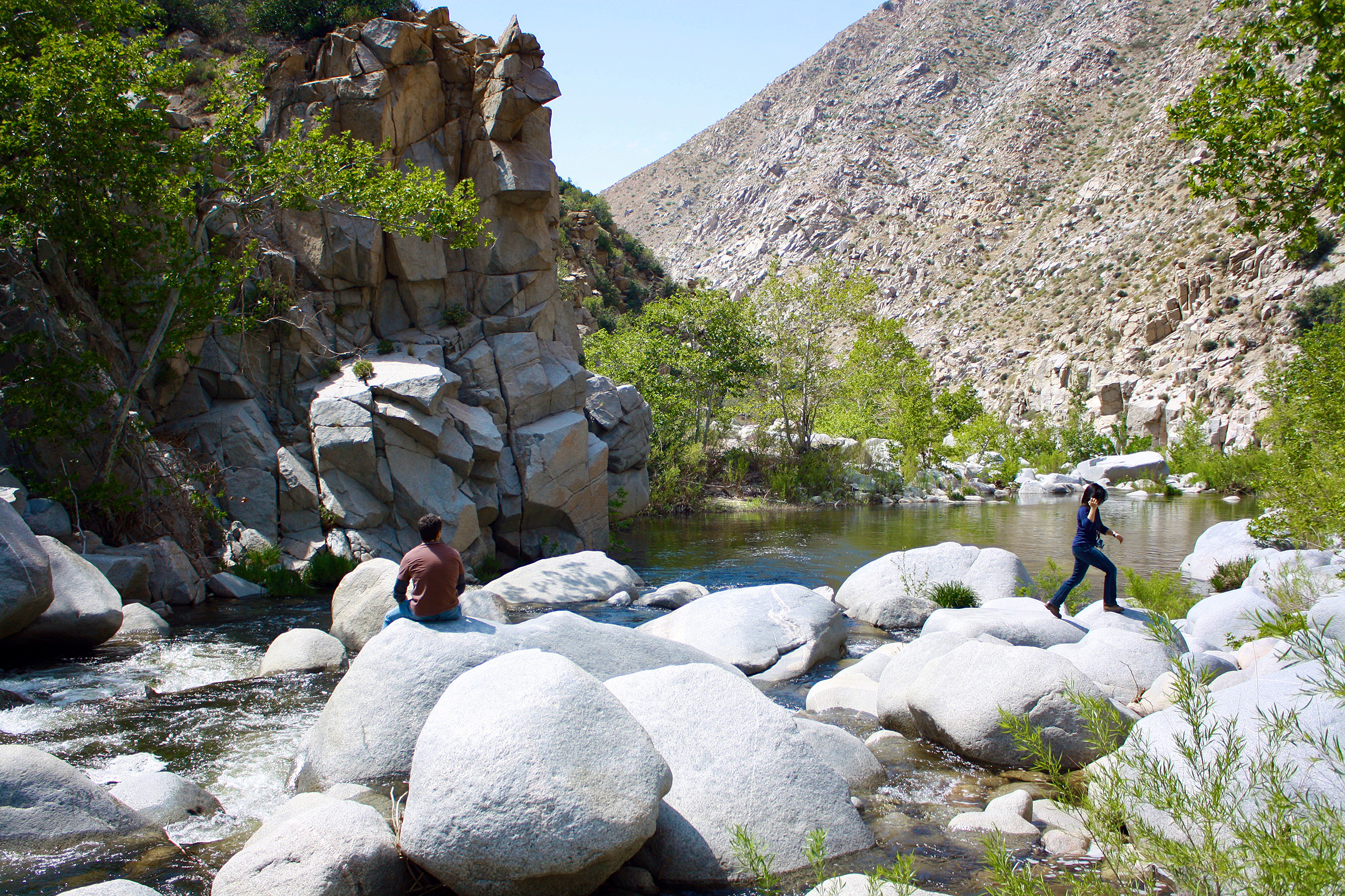
Deep Creek Deep Creek is known for its scenic canyons and hot springs. It eventually feeds into the Mojave River in Southern California.
Deep Creek
Located only 60 miles east of Los Angeles, Deep Creek flows through the San Bernardino Mountains to the East Mojave River, dropping approximately 3,000 feet through boulder-strewn reaches and deep pools. The river’s outstandingly remarkable values include its scenery, recreation, geology, fish, wildlife, cultural and botanical values.
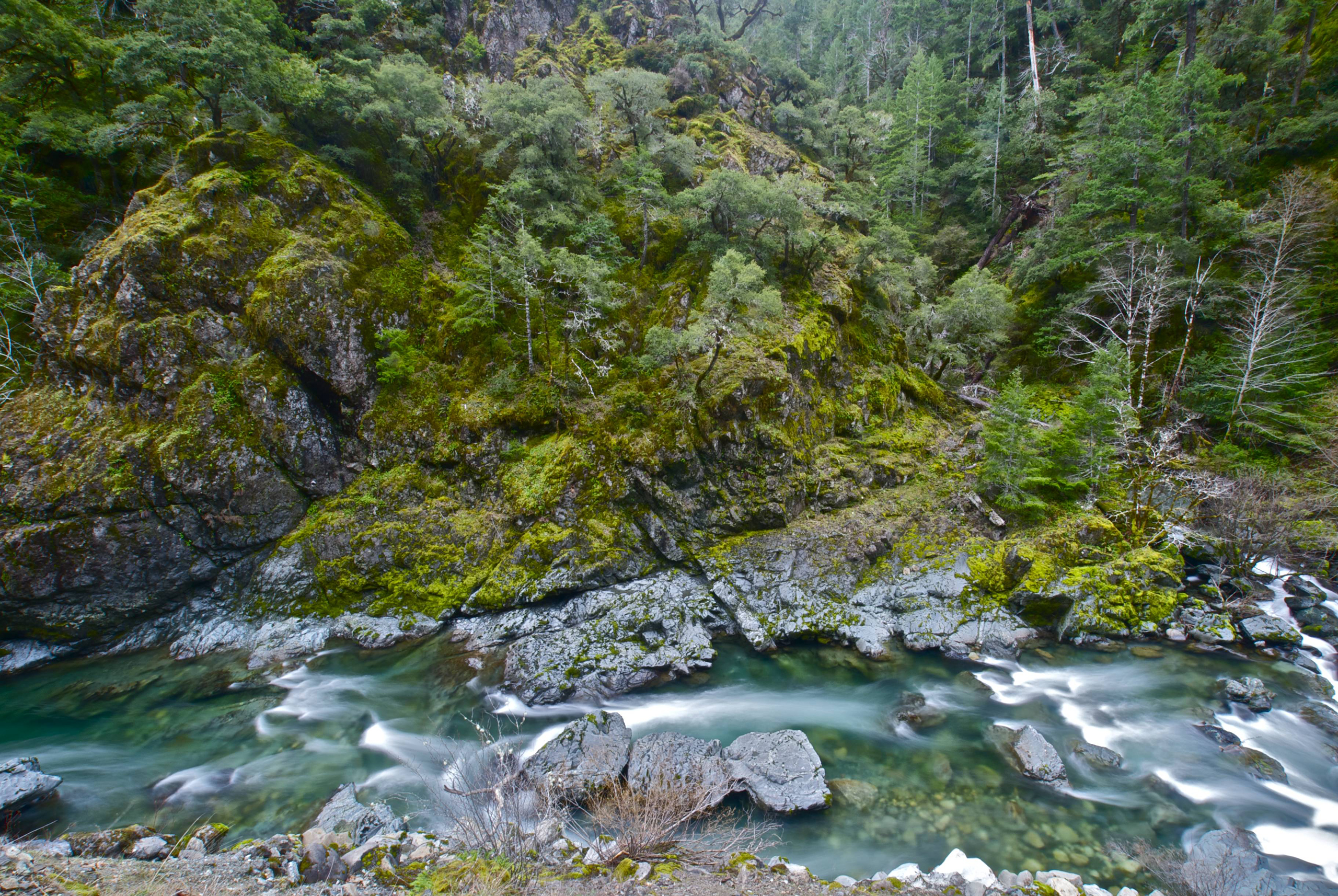
Eel River The Eel River is one of California’s largest watersheds north of San Francisco. Its rugged canyons and forested banks are home to salmon and steelhead.
Eel River
The Eel River represents California’s third largest watershed. The mainstem flows more than two hundred air miles and travels over 800 river miles from the headwaters above Lake Pillsbury in Lake County to the ocean. The Eel River has received both state (1972) and federal (1981) wild and scenic river designation, which protects the river from dams and ensure that environmental concerns rank equally with development and industry.
Feather River The Feather River is a major tributary of the Sacramento River. It plays a crucial role in California's State Water Project.
Feather River
The Middle Fork of the Feather River runs from it headwaters near Beckwourth, California, to Lake Oroville. The river gradient varies from gentle at the upper end to very steep in the deep canyons of the lower reaches. The adjacent lands range from the most primitive imaginable to manicured golf courses and residential area. Access is good by oiled roads in the upper portion and is nonexistent mile after mile in the wild river zones.
Fuller Mill Creek Fuller Mill Creek flows through the San Bernardino Mountains. The creek’s shaded pools provide habitat for native trout.
Fuller Mill Creek
Fuller Mill Creek rises on San Jacinto Peak in the Mount San Jacinto State Game Preserve and Wilderness Area. The Pacific Crest National Scenic Area Trail crosses its upper reaches. Above its confluence with the North Fork of the San Jacinto River is a picnic area and fishing access location. Hike upstream from there to see lovely waterfalls. While there is no camping in the river corridor, there are four campgrounds nearby.
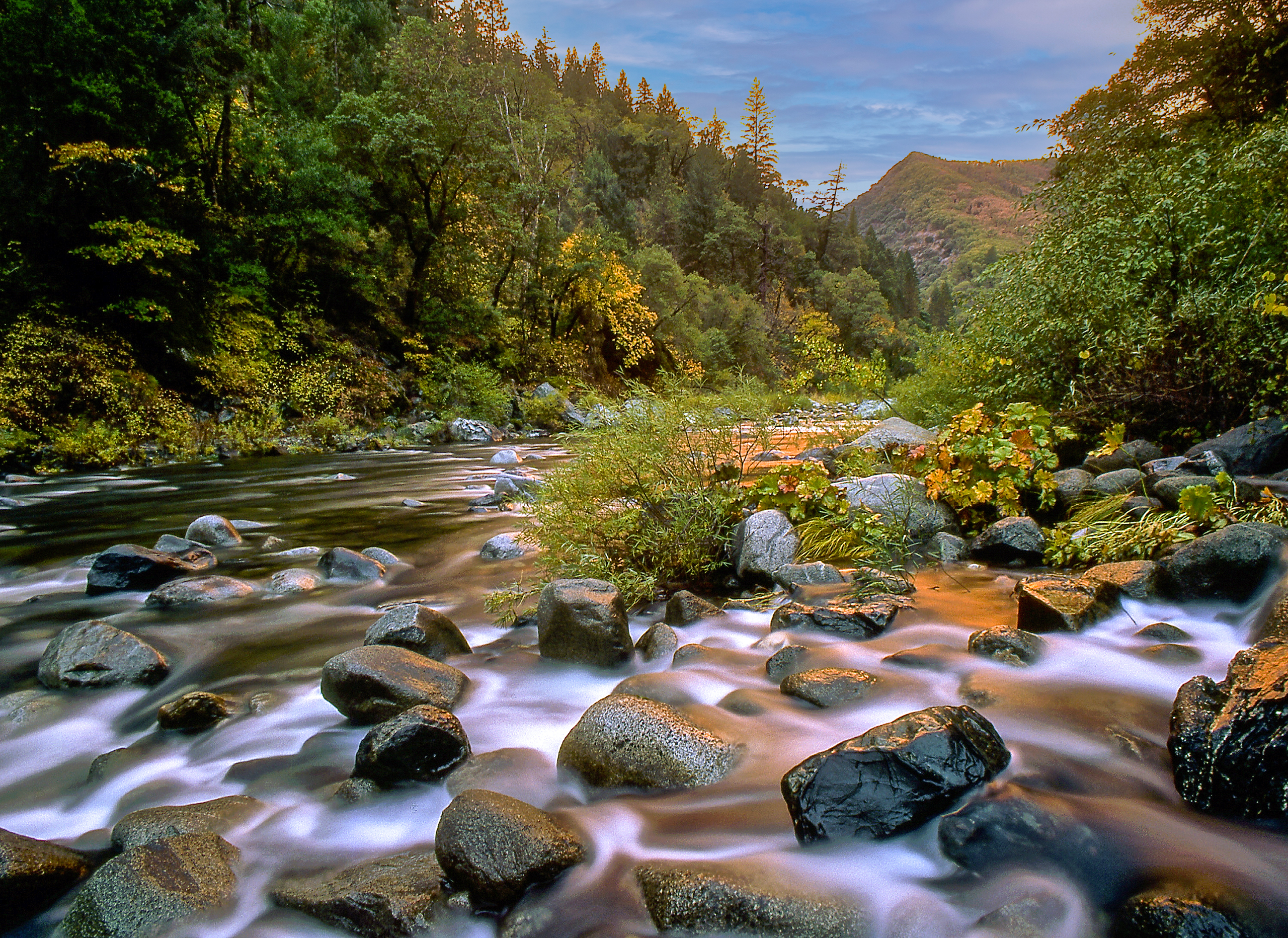
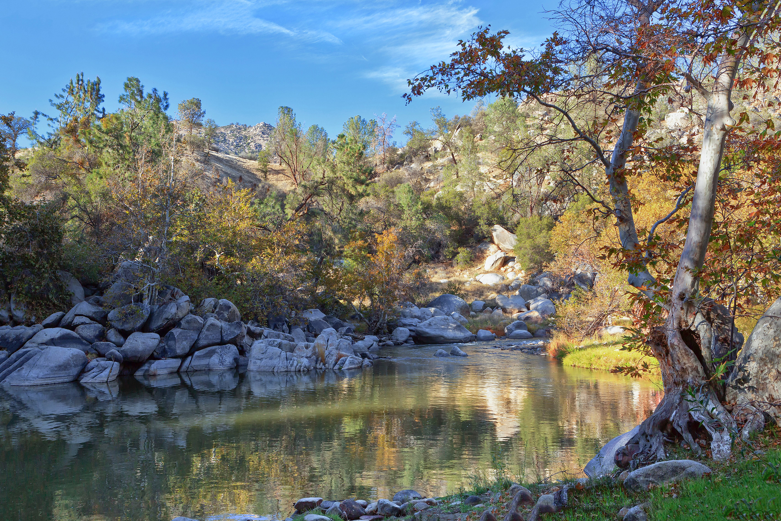
Kern River The Kern River rushes down from the Sierra Nevada into the Central Valley. It's famed for whitewater rafting and its rugged natural beauty.
Kern River
The North and South Forks of the Kern Wild and Scenic River are located within a four-hour drive of more than one-third of the population of southern California.
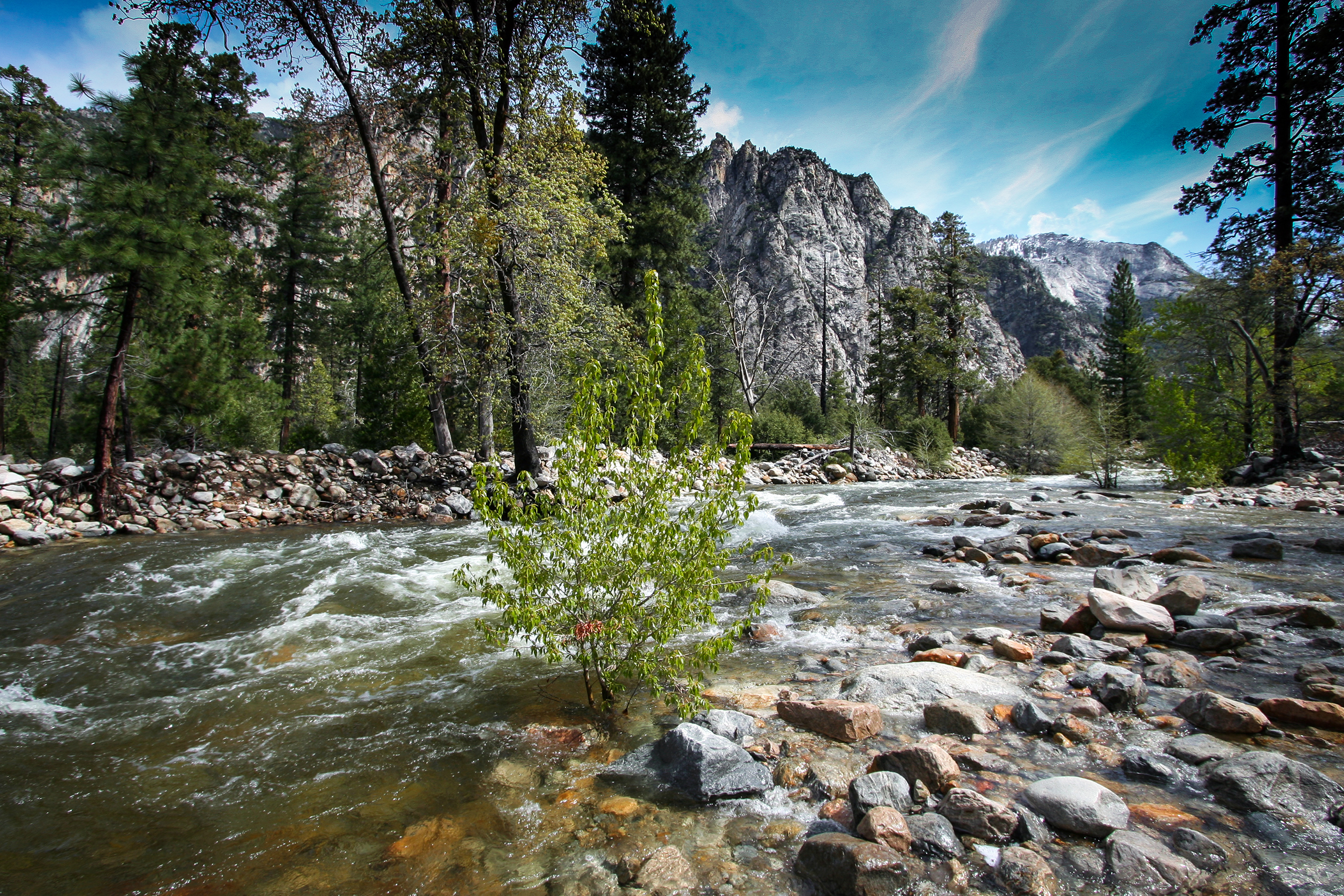
Kings River The Kings River carves deep gorges in the Sierra Nevada. It supplies vital irrigation water to California’s Central Valley farms.
Kings River
The Kings River includes the entire Middle and South Forks and six miles of the Kings River. It flows through Kings Canyon National Park and the Sequoia and Sierra National Forests. Beginning in glacial lakes above timberline, the river flows by deep, steep-sided canyons, over falls and cataracts, eventually becoming an outstanding whitewater rafting river in its lower reaches in Sequoia National Forest.
The Klamath River flows from Oregon into California before reaching the Pacific Ocean. It is a culturally and ecologically significant river for Native American tribes.
Klamath River
The designated California segment of the Klamath River begins 3,600 feet below Iron Gate Dam and ends at the Pacific Ocean; the designation includes its principal tributaries—the Scott River, Salmon River, and Wooley Creek.
Merced River The Merced River courses through Yosemite Valley, creating iconic landscapes. It is a major tributary of the San Joaquin River.
Merced River
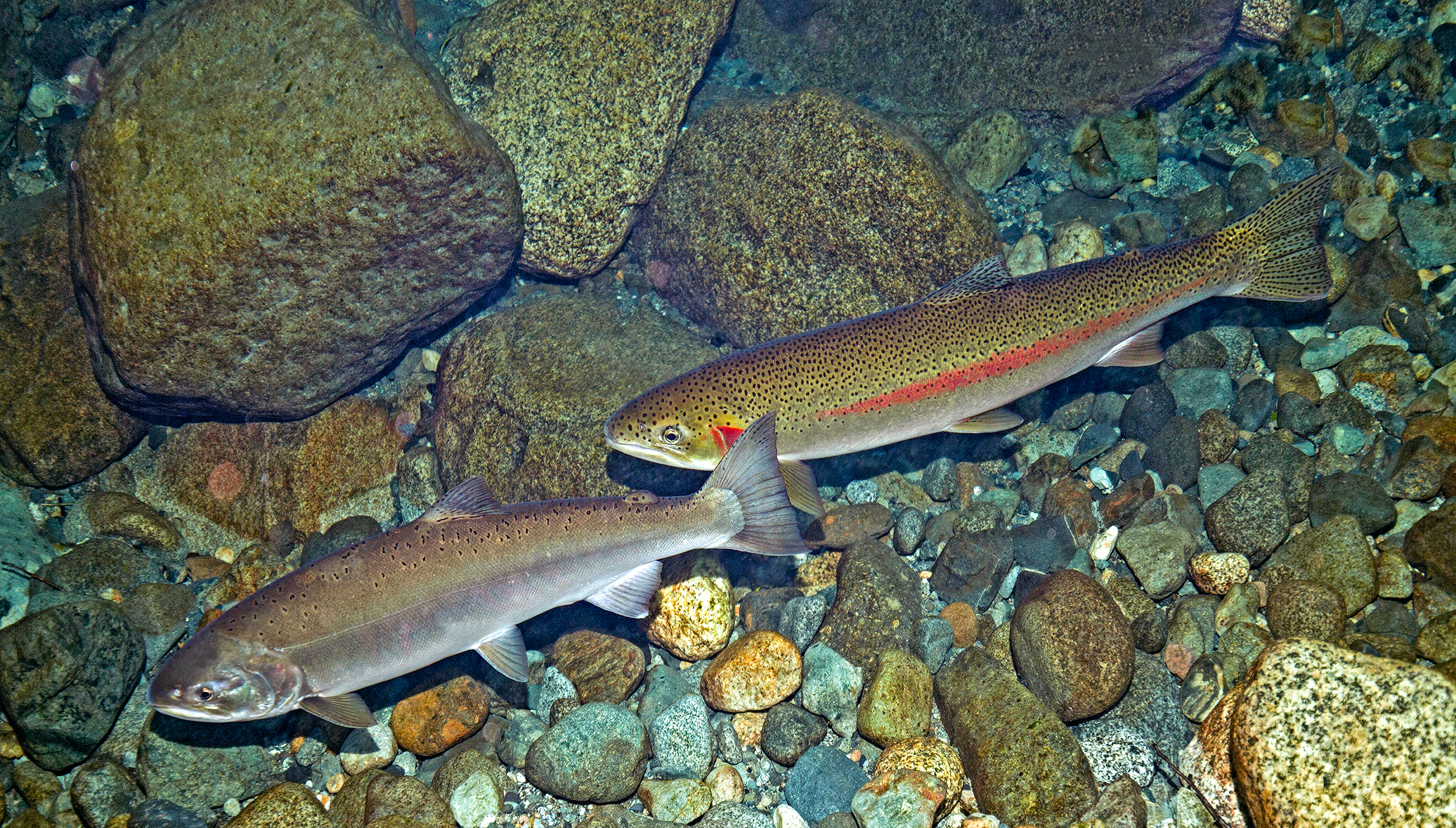
From its source on the south side of Mount Lyell at 13,114 feet, through a glacially carved canyon within Yosemite National Park, the river flows downstream to Lake McClure Reservoir. The Merced, including the South Fork, flows through exceptional scenery—glaciated peaks, lakes and alpine and subalpine meadows—in alternating pools and cascades. Wildflower displays are spectacular. The South Fork possesses one of the few remaining pristine Sierra Nevada fisheries with self-sustaining populations of rainbow, eastern brook, and brown trout. Archeology and wildlife are also noteworthy.
North Fork American River The North Fork American River features dramatic canyons and swift rapids. It's a popular destination for hikers and kayakers.
North Fork American River
The North Fork of the American River originates in eastern Placer County in the Tahoe National Forest. It flows west and then southwest, passing the town of Colfax and on through Clementine/North Fort Reservoir; it meets the Middle Fork of the American four miles below the North Fork Reservoir Dam near the town of Auburn and flows past the site of the abandoned Auburn Dam. The Tahoe National Forest manages the upper 26 miles of this wild reach and the Bureau of Land Management manages the lower third.
North Fork San Jacinto River The North Fork San Jacinto River flows seasonally through the San Bernardino National Forest. Its clear waters support mountain ecosystems.
North Fork San Jacinto River
The source of the North Fork of the San Jacinto River is on San Jacinto Peak in the Mount San Jacinto State Game Preserve and Wilderness Area. The river is free flowing from its headwaters to a diversion on private land, a distance of 11.4 miles; however, flows are intermittently for some of its length during the mid to late summer and fall.
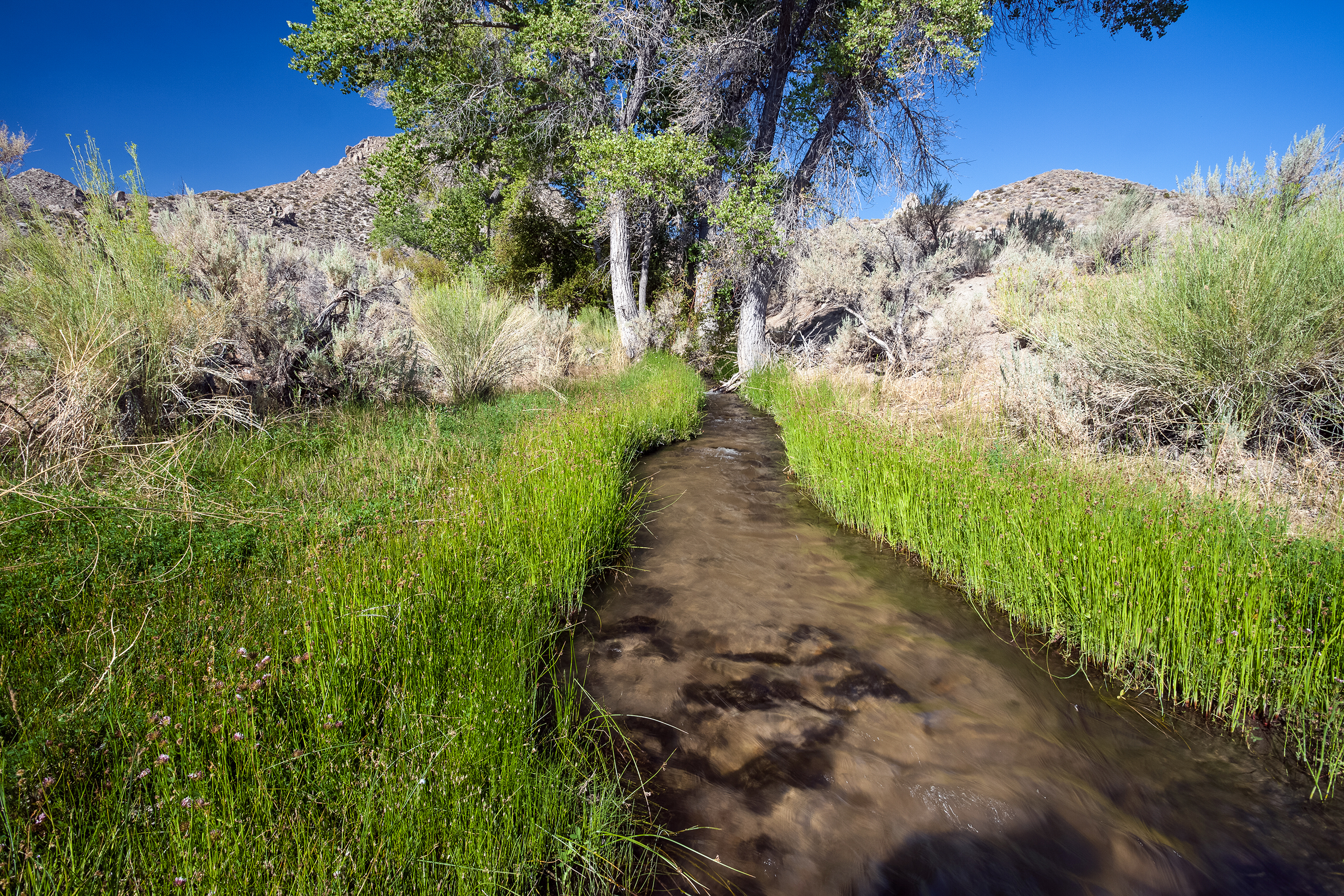
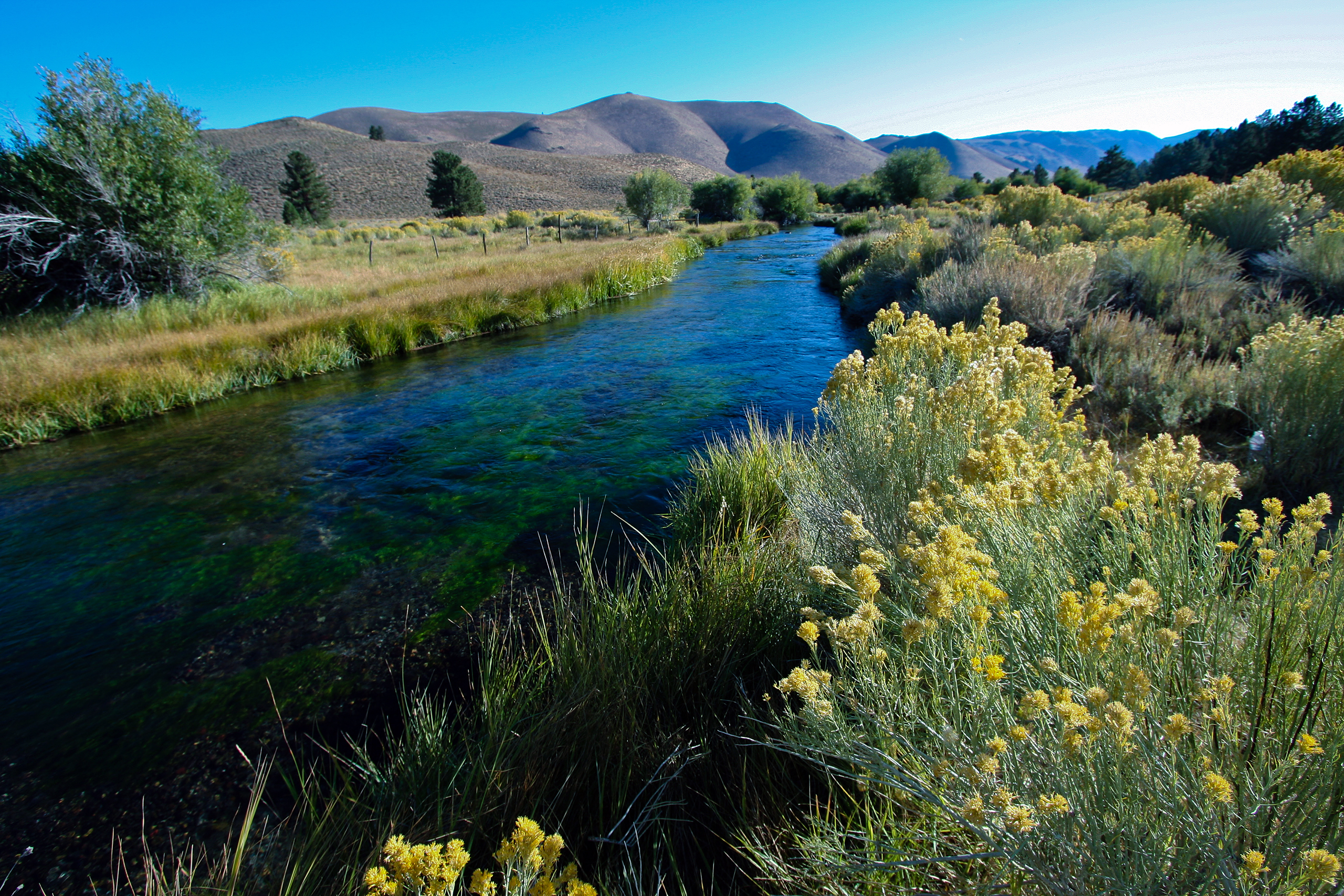
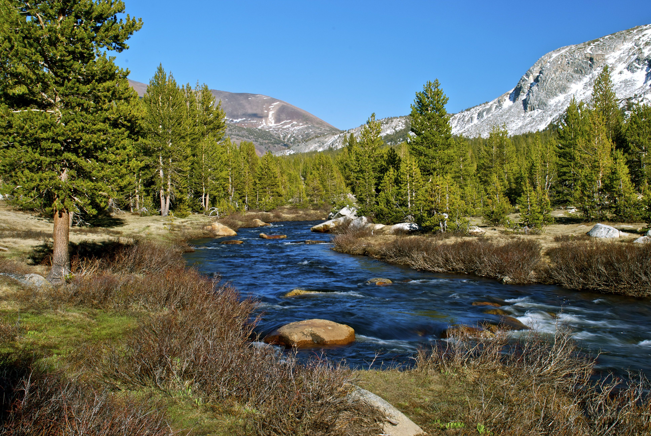
Owens River Headwaters The Owens River Headwaters are a complex network of spring-fed streams. They are critical for sustaining fish, birds, and wetlands in the eastern Sierra.
Owens River Headwaters
The Owens River and its tributaries, Glass and Deadman Creeks, are headwaters for the famed Owens River System, a renowned fishery which calls anglers and other recreationists to the rugged landscapes of the Eastern Sierra. With its headwaters beginning at the 11,600-foot summit of San Joaquin Mountain, the eastward draining waters contain over 100 seeps and springs that sustain some of the most abundant riparian habitat in the eastern Sierra.
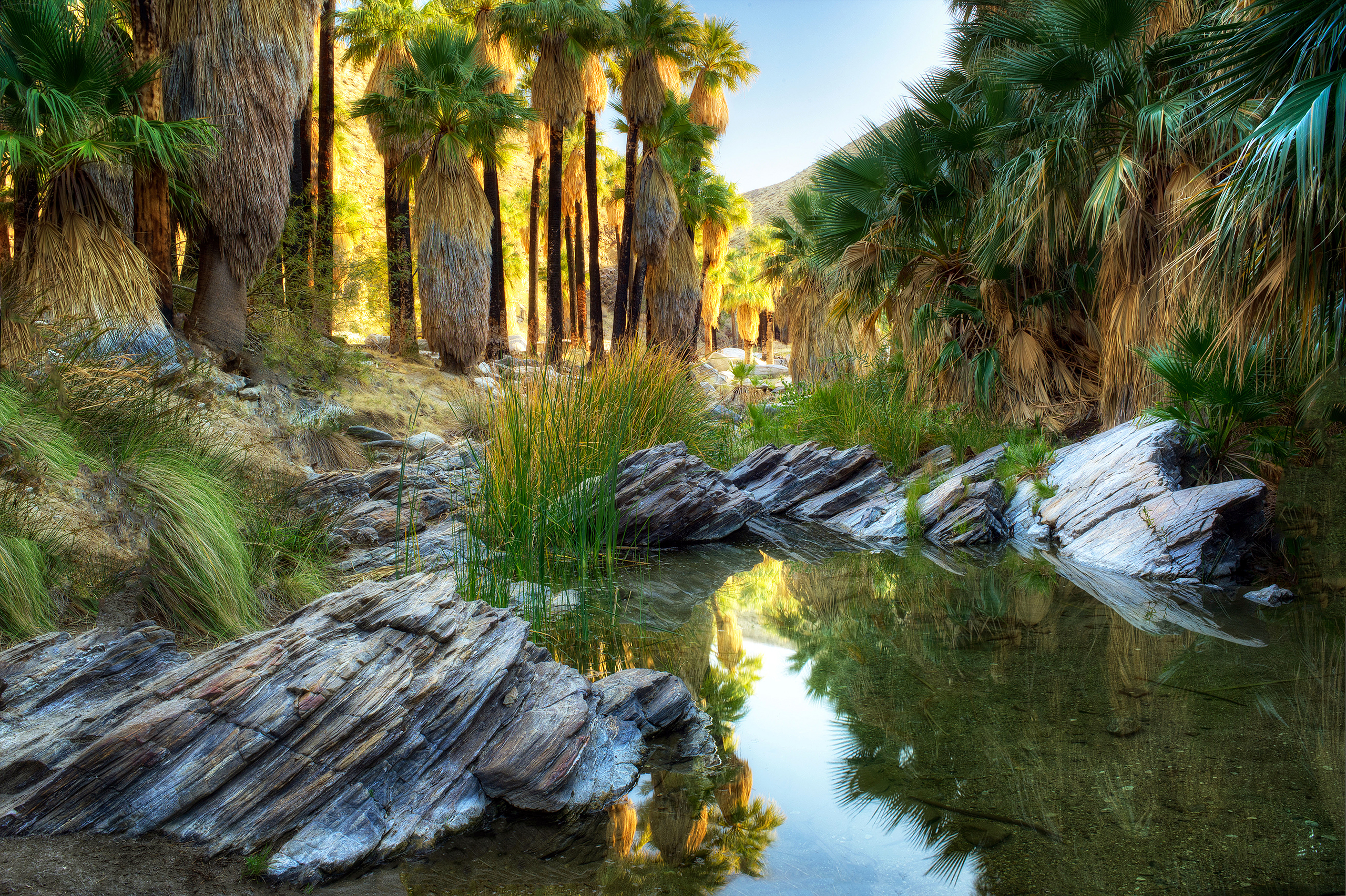
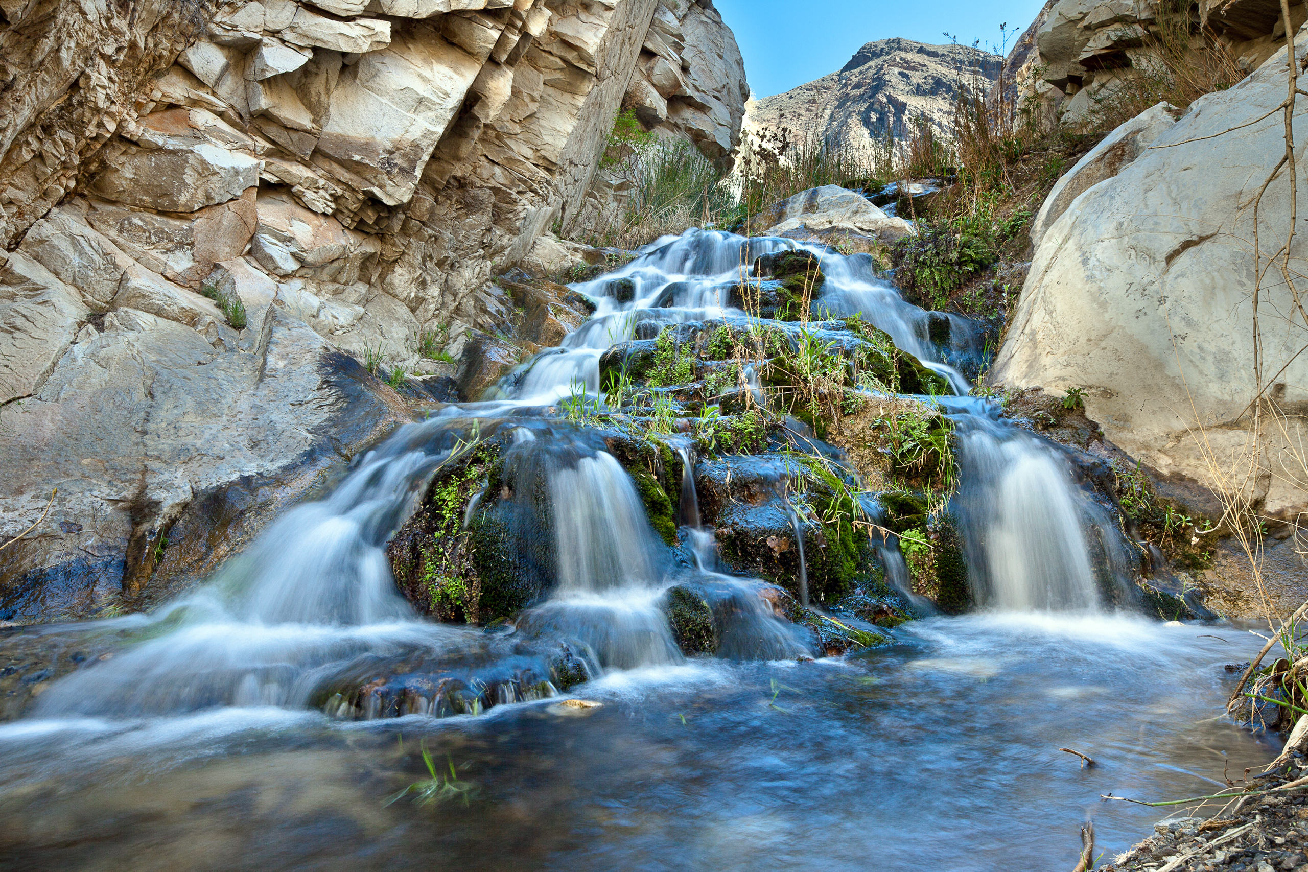
Palm Canyon Creek Palm Canyon Creek runs through the scenic Palm Canyon near Palm Springs. It nourishes groves of native California fan palms.
Palm Canyon Creek
Palm Canyon Creek, located in the lower eastern slope of the San Jacinto Mountains, is a tributary of the Whitewater River, the primary drainage for the Coachella Valley. It is free of impoundments, is only accessible by trail, and is in a primitive watershed with unpolluted waters. The varied and unspoiled terrain also provides a home for the endangered Peninsular bighorn sheep, the southwestern willow flycatcher, and many sensitive songbirds. The unique presence of California’s only native palm, the California fan palm, gives this canyon its name.
Piru Creek Piru Creek winds through Los Padres National Forest and rugged canyons. It provides habitat for endangered fish species.
Piru Creek
Located in Los Angeles County, Piru Creek drains the rugged and remote Sespe Wilderness and flows into the Santa Clara River. The recreational segment of Piru Creek is located within the Angeles National Forest and starts one-half mile below Pyramid Lake Dam and continues downstream to the Sespe Wilderness boundary. The wild segment is located within the Los Padres National Forest from the wilderness boundary to the boundary between Las Angeles and Ventura Counties.
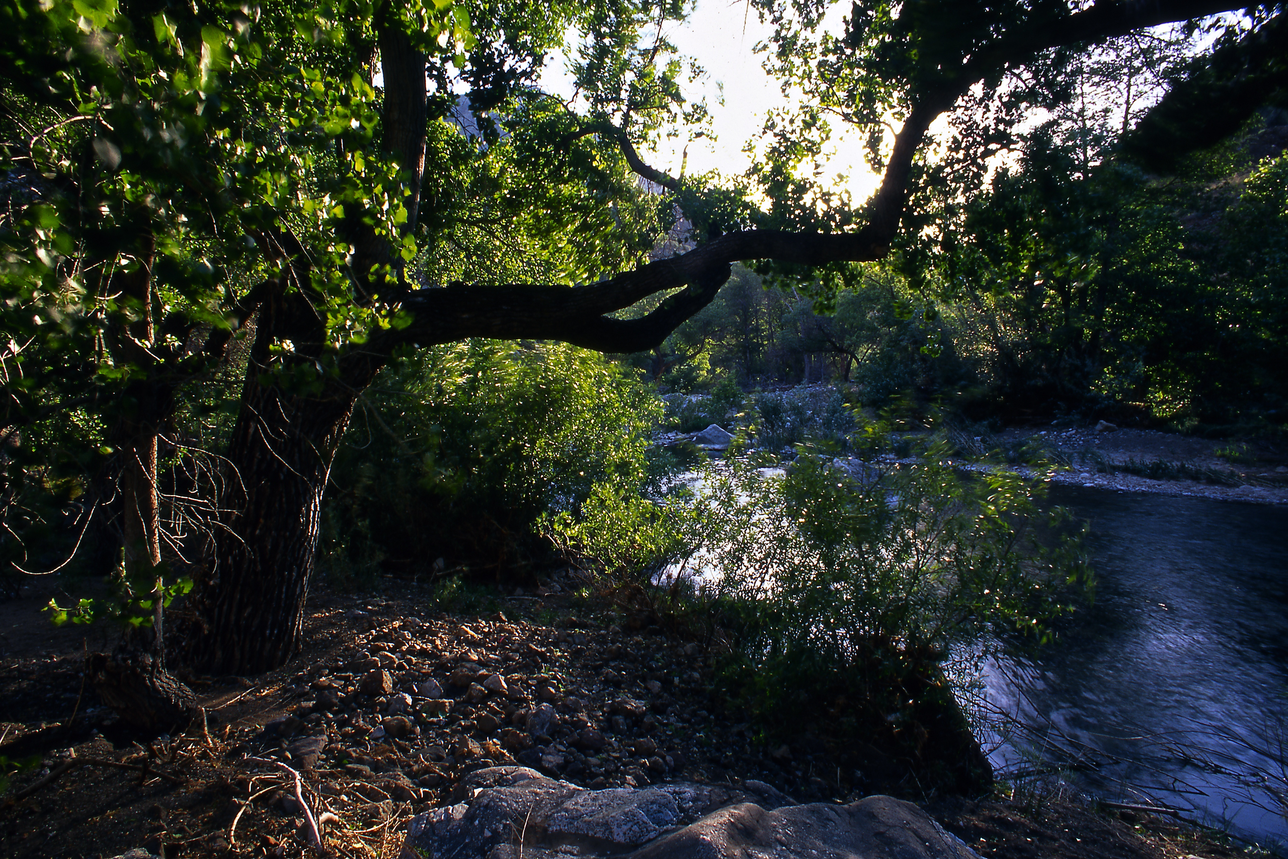
Sespe Creek Sespe Creek is one of the last free-flowing rivers in Southern California. It’s a designated National Wild and Scenic River.
Sespe Creek
Sespe Creek is located in Ventura County approximately eight miles north of Ojai, California. Sespe Creek originates in the Santa Ynez Mountains, a part of the California Coast Range, and flows into the Santa Clara River south of Fillmore, California. The designated corridor lies entirely within the administrative boundaries of the Los Padres National Forest. Most of the wild segment lies within the Sespe Wilderness. A portion, approximately seven miles, traverses the Sespe Condor Sanctuary.
Sisquoc River The Sisquoc River meanders through remote sections of the Los Padres National Forest. It protects important steelhead trout spawning grounds.
Sisquoc River
The Sisquoc River is a 33-mile segment of the main river extending from its headwaters below the Buckhorn Road on the east to the forest boundary on the west. All but 1.5 miles of the west end lie within the San Rafael Wilderness. The entire length of the river is natural and free flowing without past or present diversions. Cutting through a variety of environments, the Sisquoc curves through flat low floodplains filled with vegetation to the rocky peak of San Rafael mountain.
Smith River The Smith River is California’s only major undammed river. Its crystal-clear waters support diverse aquatic life.
Smith River
The Smith River was added to the National Wild and Scenic Rivers System in 1981 with an additional portion added in 1990. More than 300 miles of the Smith River drainage are designated wild and scenic, making it one of the most complete river systems in the National System. The emerald-green Smith River flows freely and naturally, without a single dam for its entire length. It is the only major system in California to do so.
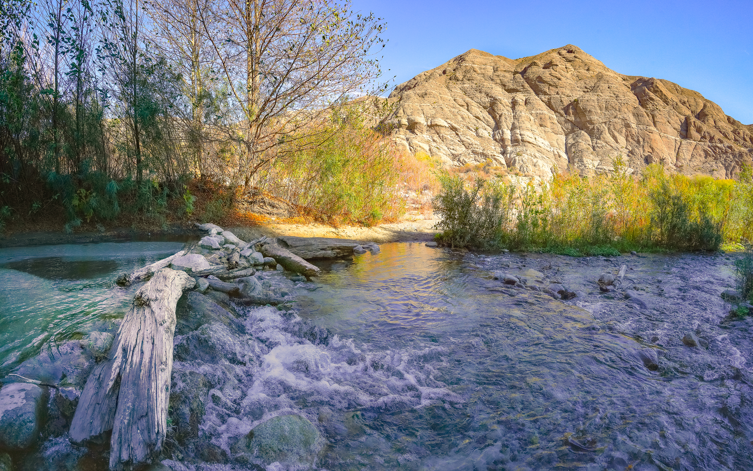
Surprise Canyon Creek Surprise Canyon Creek flows down from the Panamint Mountains toward Death Valley. Seasonal flash floods shape its dramatic desert landscape.
Surprise Canyon Creek
Originating in the Panamint Mountains of Death Valley National Park, Surprise Canyon Creek cuts deeply into the landscape as it flows west through the national park and into the Surprise Canyon Wilderness. The creek’s gradient is steep, dropping from above 6,000 feet to below 2,000 feet in approximately 7 miles. A rare perennial desert stream, Surprise Canyon Creek’s flow is fed by springs that bubble up from the canyon walls.
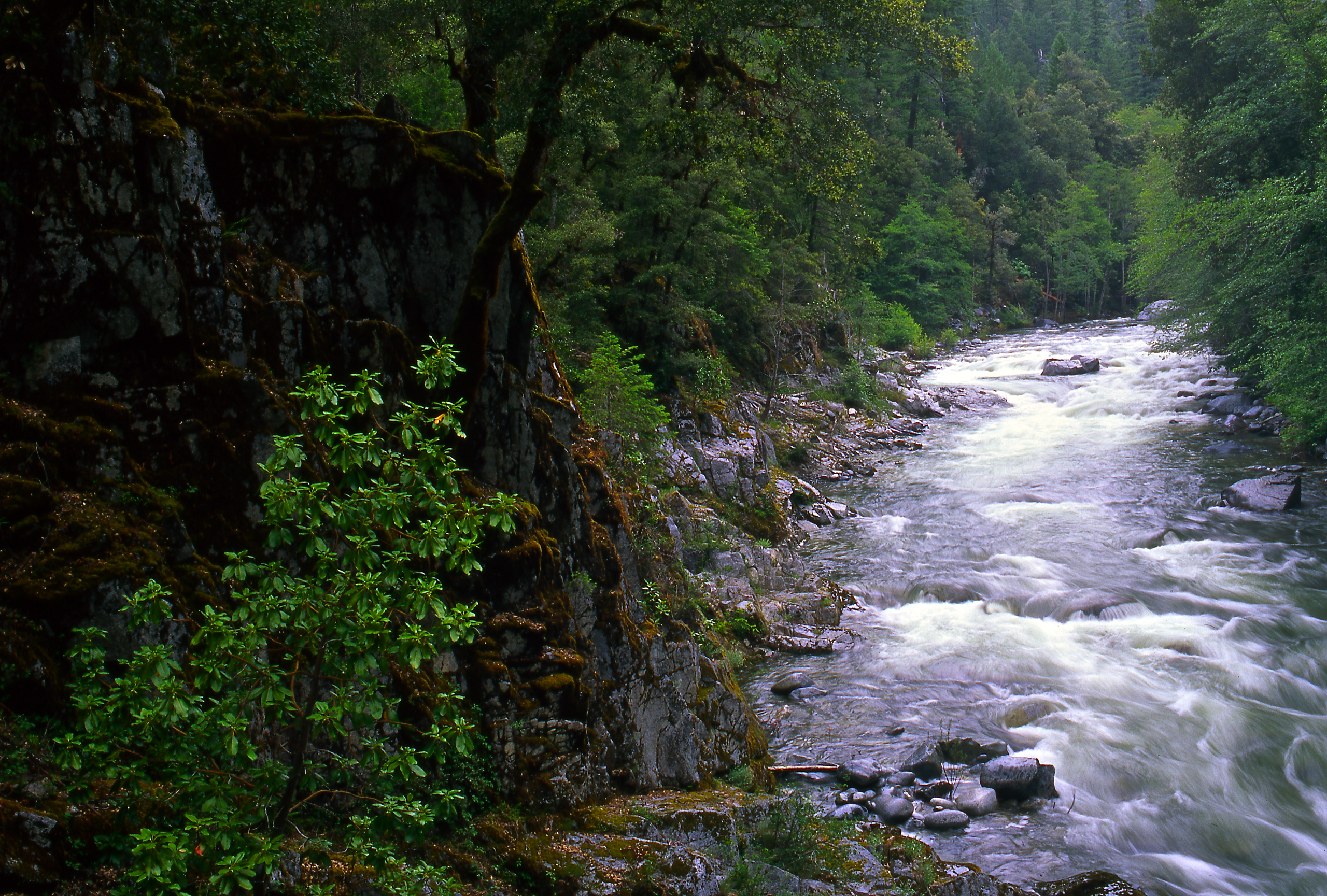
Trinity River The Trinity River runs through dense forests and rugged mountains. It supports salmon and steelhead populations critical to local ecosystems.
Trinity River
This major tributary of California’s Klamath River begins in the rugged Trinity Alps and makes its way through wilderness before meeting up with the mighty Klamath at Weitchpec. The Trinity is noted for its salmon and steelhead fishery resources, as well as its attraction to rafters, kayakers, and canoeists. The North and South Forks of the Trinity and the New River are included in the designation. The Trinity River offers a wide variety of opportunities for fun, family, and fishing.
Tuolumne River The Tuolumne River begins high in Yosemite National Park. It provides drinking water for millions in the San Francisco Bay Area.
Tuolumne River
The Tuolumne River, designated in 1984, originates high in the Sierra Nevada on the eastern side of Yosemite National Park and flows westward for 62 miles before it continues into Stanislaus National Forest. The river has two principal sources: 1) the Dana Fork, which drains the west-facing slopes of Mount Dana; and 2) the Lyell Fork, which begins at the base of the glacier on Mount Lyell. The two forks converge at the eastern end of Tuolumne Meadows, one of the largest subalpine meadows in the Sierra Nevada.
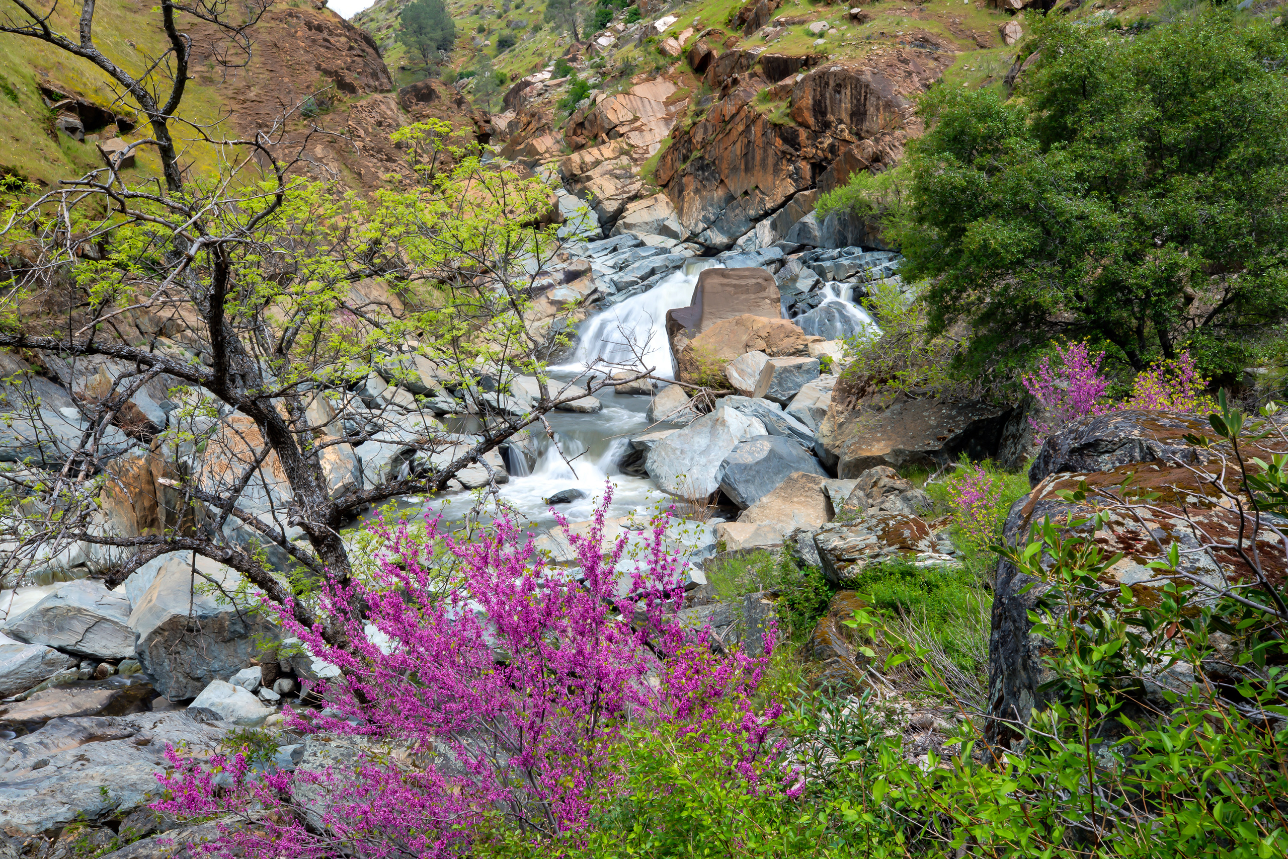
Whitewater River The Whitewater River flows through desert canyons near Palm Springs. Seasonal storms can cause dramatic flash flooding along its course.
Whitewater River
The Whitewater River originates high on the 11,499-foot Mount San Gorgonio in the San Gorgonio Wilderness and includes the North, Middle, and South Forks. From the headwaters, the designated reach flows through the San Bernardino Mountains for 28 miles to the Coachella Valley area. This river is jointly managed by Bureau of Land Management and U.S. Forest Service.
Why California’s Rivers Matter Rivers in California are vital for many reasons:
Water Supply : They provide drinking water to cities and irrigation for farms.Ecosystems : Rivers support fish, birds, and wildlife across diverse habitats.Culture and Recreation : From rafting and fishing to historic landmarks, rivers shape California’s cultural identity.Climate Resilience : Healthy rivers help store water naturally and recharge groundwater basins.Exploring California’s Rivers From coastal watersheds to desert oases, California’s rivers offer endless opportunities to explore:
Northern California : Mountain streams, redwood forests, and salmon-bearing rivers.Central California : Broad valley rivers and managed waterways that feed into the San Francisco Bay.Southern California : Urban rivers, desert rivers, and restored wetland areas.Many state and national parks in California protect important river corridors. Popular destinations include the American River Parkway, the Kern River Preserve, and the Lower Colorado River.
Learn More CaliforniaToday.com covers major river systems, water policy updates, and conservation efforts across the state.
Climate
Learn about California’s diverse climate. Find resources and information on weather patterns, seasonal changes, and environmental trends.
California Environmental Protection: Safeguarding the Golden State’s Future
Explore California’s environmental protection initiatives and key agencies like CalEPA, CARB, DTSC, and CalRecycle. Learn how California leads in combating climate change, reducing pollution, and ensuring a sustainable future.
California Air Resources Board (CARB)
Discover the California Air Resources Board (CARB) and its pioneering work in air quality and climate change. Learn about CARB’s role in setting emissions standards, the Cap-and-Trade Program, and its ambitious climate goals.
California Climate Initiatives
Explore California’s climate initiatives, led by agencies like CalEPA and CARB, aimed at reducing pollution, managing waste, and protecting water resources.
California’s Long-Term Climate and Emission Goals and Policies
Learn about California’s long-term climate and emission goals, including carbon neutrality by 2045 and initiatives like the Cap-and-Trade Program, Low Carbon Fuel Standard, and Renewable Portfolio Standard
Browse the articles, maps, and local guides above to learn more about how California’s rivers are changing — and why they matter.