Madre Fire update: Evacuations expanded to Santa Barbara as blaze hits 79K+ acres, 10% containment on Sunday evening
The Madre Fire in San Luis Obispo County remains California’s largest active wildfire in 2025. As of July 5, the blaze has scorched nearly 80,000 acres with just 10% containment, prompting expanded evacuations and ongoing firefighting efforts.


The Madre Fire burning in San Luis Obispo County continues to challenge crews across Central California, with over 600 personnel now assigned to the state’s largest wildfire of 2025.
As of Saturday afternoon, July 5, the fire has burned 79,630 acres and remains just 10% contained, according to the latest update from CAL FIRE and the U.S. Forest Service. One structure has been destroyed, and 50 others are currently under threat.
#MadreFire: Update 7.5.2025
— San Luis Obispo County Fire Department (@CALFIRE_SLO) July 5, 2025
Acreage 79,630 with 10% containment, 1 outbuilding destroyed.
For more information visit: https://t.co/vI0Ng2RyWJhttps://t.co/FfDGrwJEZt pic.twitter.com/PqA5O9DRVc
The fire ignited on July 2 near Highway 166 in the New Cuyama region and has since grown rapidly due to dry fuels, rugged terrain, and persistent gusty winds.
Expanded evacuation orders
Officials have expanded the list of evacuation orders and warnings as the Madre Fire continues to spread across San Luis Obispo and neighboring counties.
Evacuation Orders
The following zones remain under mandatory evacuation due to active fire behavior and ongoing threats to public safety:
- LPF-017
- SLC-226
- SLC-240
- SLC-263
- SLC-264
- SLC-265
- SLC-298
- SLC-299
- SLC-300
- SLC-312
- SLC-313
- SLC-337
- SLC-338
- SLC-339
- SLC-358
Evacuation Warnings
The zones below are currently under evacuation warning, meaning residents should be ready to leave at a moment’s notice:
- SLC-225
- SLC-239
- SLC-266
- SLC-301
- SLC-359
- SLC-365
- SLC-366
- SLC-367
- KRN-245 (new)
- KRN-249 (new)
- KRN-259 (new)
- KRN-281-B (new)
- Santa Barbara County – Areas east of the Rock Front, west of Cotton Wood Canyon Road, and south of Highway 166 (new)
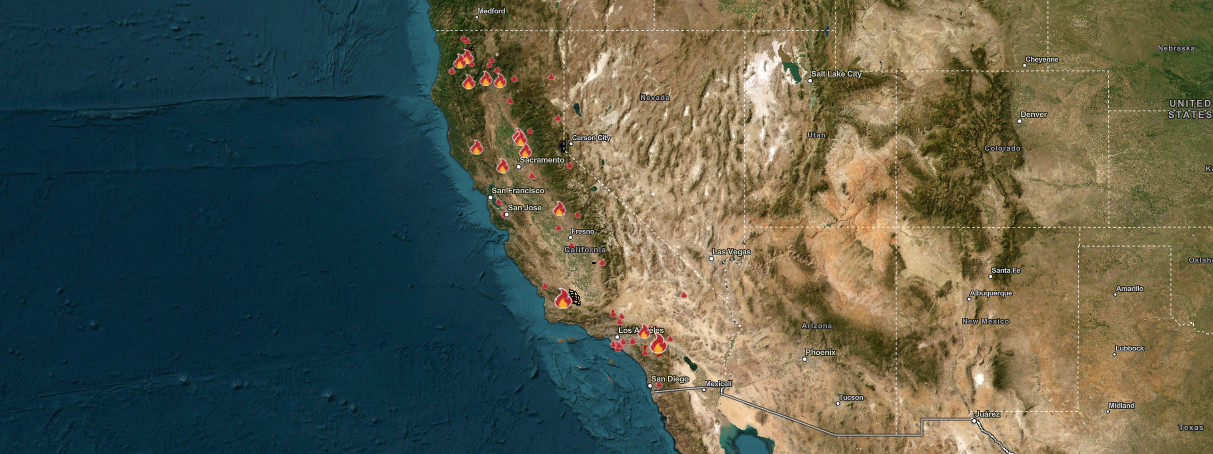
Track the Madre Fire and Other Active Wildfires in Across California
The Madre Fire remains the largest and most volatile active wildfire in California, it is just one of several wildfires burning across the state.
To help residents stay ahead of fast-moving wildfires like these, NOAA recently launched its Next-Generation Fire System, offering real-time fire alerts within one minute of ignition.
This satellite-based system is expected to drastically reduce response times and improve public safety during rapidly evolving fire events.
Active fire map: Madre Fire is now largest wildfire in California
The Madre Fire now tops California’s list of active wildfires by acreage. Here's how it compares to other major fires burning across the state on Sunday evening:
| Fire Name | County | Acres Burned | Containment |
|---|---|---|---|
| Madre Fire | San Luis Obispo | 79,630 | 10% |
| Wolf Fire | Riverside | 2,387 | 80% |
| Green Fire | Shasta | 545 | 0% |
| Lake Fire | San Bernardino | 489 | 90% |
| Horse Fire | Shasta | 428 | 60% |
Firefighting efforts
Crews are working under unified command between CAL FIRE San Luis Obispo, the Los Padres National Forest, and the Bureau of Land Management. The latest report shows:
- 608 personnel assigned
- 46 engines, 5 helicopters, 16 dozers, 14 hand crews, and 5 water tenders deployed
- Multiple air tankers are flying suppression missions as weather permits
High temperatures and wind gusts continue to hamper containment efforts. The fire's cause is still under investigation.
Where to find updates and evacuation info
For real-time evacuation updates and road closures, residents can visit:
- CAL FIRE Incident Page
- San Luis Obispo County Fire Department on X
- Santa Barbara County Updates
- Madre Fire Info Line: (805) 903-3424
Those in nearby communities are encouraged to remain alert, prepare go-bags, and monitor evacuation alerts issued through local emergency services.


