
Maps provide reliable insights into California’s geography, transportation, environmental resources, and public lands. Whether planning travel routes, evaluating property, or researching environmental conditions, these resources are essential tools for residents, researchers, tourists, and professionals alike.
Traffic and Road Conditions Maps
Stay informed about real-time traffic conditions, incidents, road closures, and construction projects across California. These tools help ensure safer travel and efficient commuting.
Caltrans QuickMap
Caltrans QuickMap provides real-time updates on traffic conditions throughout the state. It offers timely information on traffic flow, lane closures, incidents, and weather-related driving conditions.
- Real-time traffic flow and speed indicators
- Road and lane closure notifications
- Live incident updates
- Camera snapshots along highways
- Winter driving conditions, including chain requirements
Google Maps
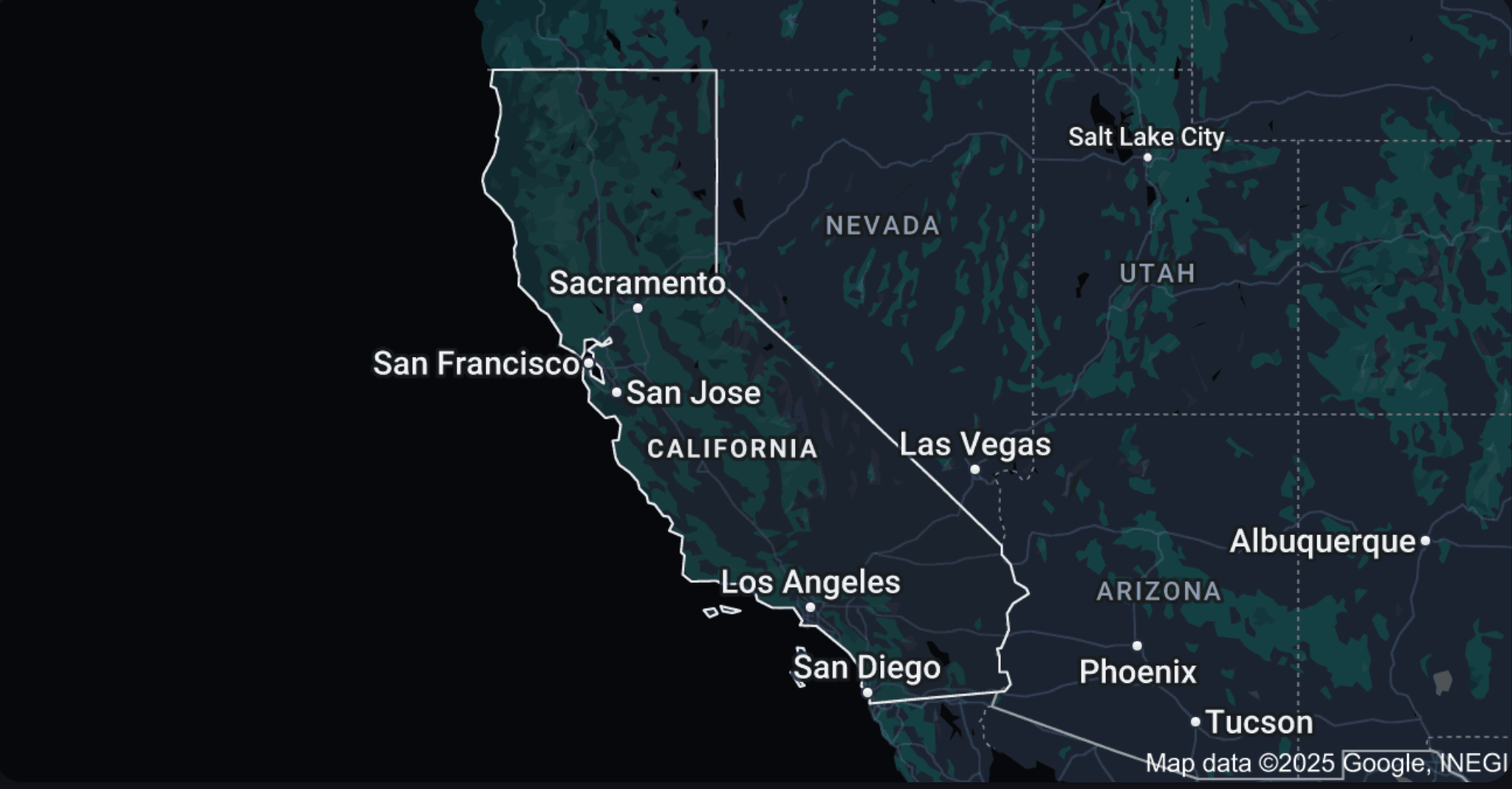
Google Maps offers comprehensive navigation and local information for California residents and visitors, providing detailed directions, traffic updates, public transit schedules, and business insights.
- Real-time GPS navigation and traffic conditions
- Street view and satellite imagery
- Public transit routes and schedules
- Business reviews, opening hours, and location details
Satellite Imagery and Global Visualization Tools
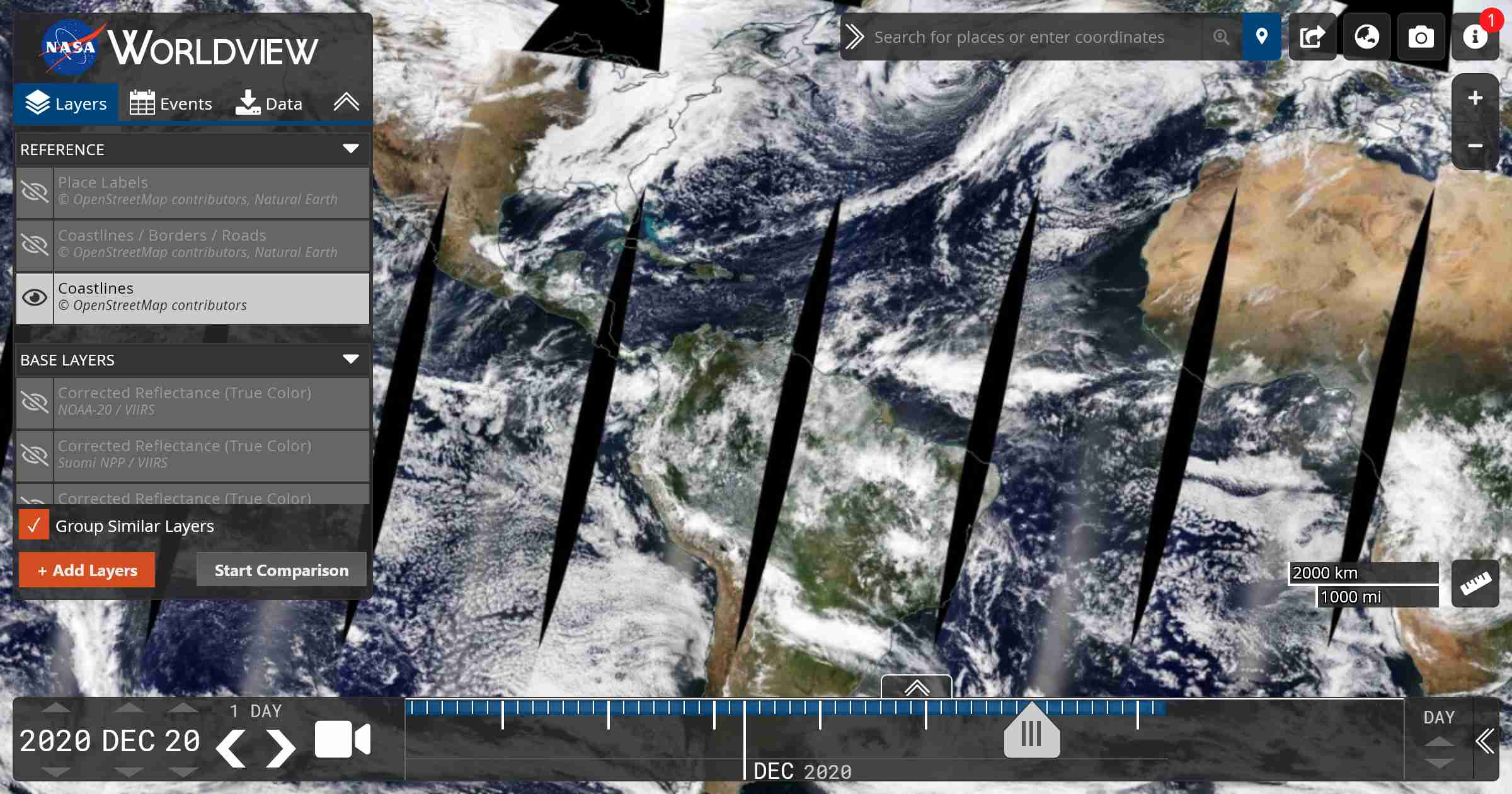
NASA Worldview
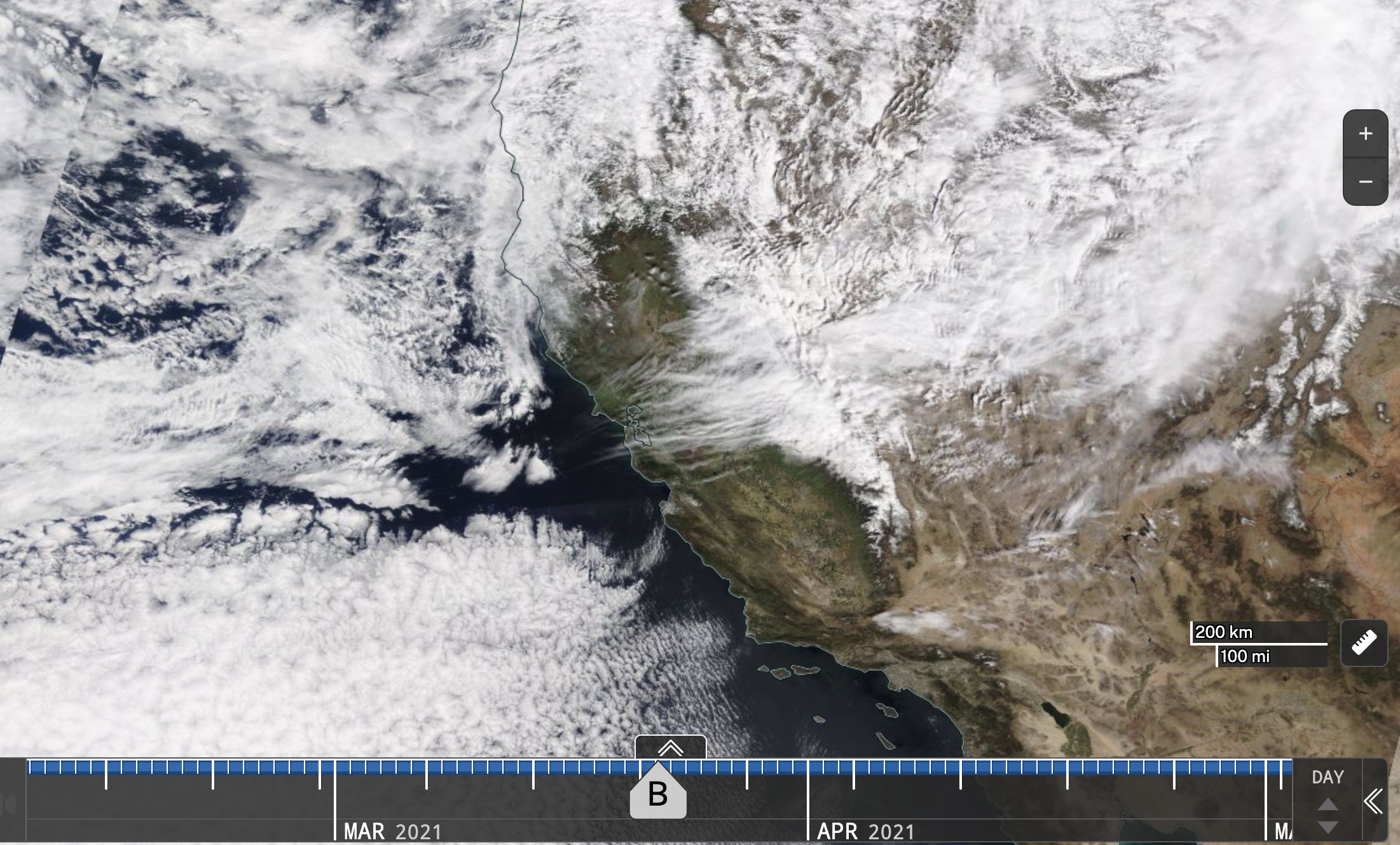
NASA Worldview provides a dynamic global satellite view, offering near real-time imagery of Earth’s landscapes. Ideal for observing environmental changes, weather patterns, and natural events impacting California.
- Daily satellite images updated continuously
- Observations of wildfires, air quality, and weather events
- Ability to track changes over time with historical imagery
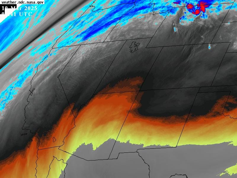
Interactive California Weather Satellite Imagery
Gain unparalleled insights into California's weather and atmospheric conditions using interactive satellite imagery provided by NASA's Marshall Space Flight Center. These high-resolution satellite images from GOES-East and GOES-West help track real-time weather systems, cloud coverage, wildfires, water vapor levels, and more.
Google Earth
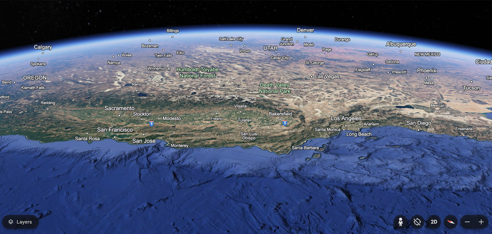
Google Earth enables immersive exploration of California’s geography through 3D satellite imagery. Ideal for education, research, and virtual tourism, users can virtually visit landmarks, natural features, and urban landscapes.
- Interactive 3D imagery of California's cities and landscapes
- Historical imagery and timelapse tools
- Exploration of geographic features and landmarks
Land Ownership and Property Management Maps
Understanding land ownership and property boundaries is essential for effective land management, planning, and conservation initiatives. California provides comprehensive tools to explore detailed land ownership records, public land boundaries, and state-managed property information.
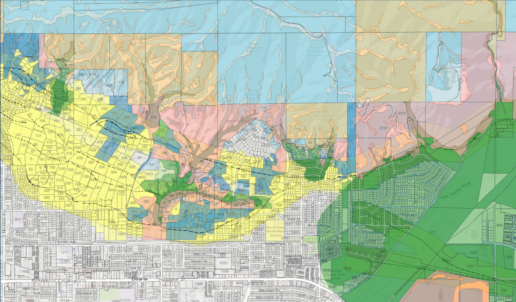
CAL FIRE California Land Ownership Maps
CAL FIRE's comprehensive land ownership maps depict ownership by federal, state, local government, and conservation entities, providing clarity on public land management.
- Clearly defined boundaries for public lands
- Updated annually with supplemental sources
- Important resource for planning and environmental management

California Statewide Property Inventory (SPI)
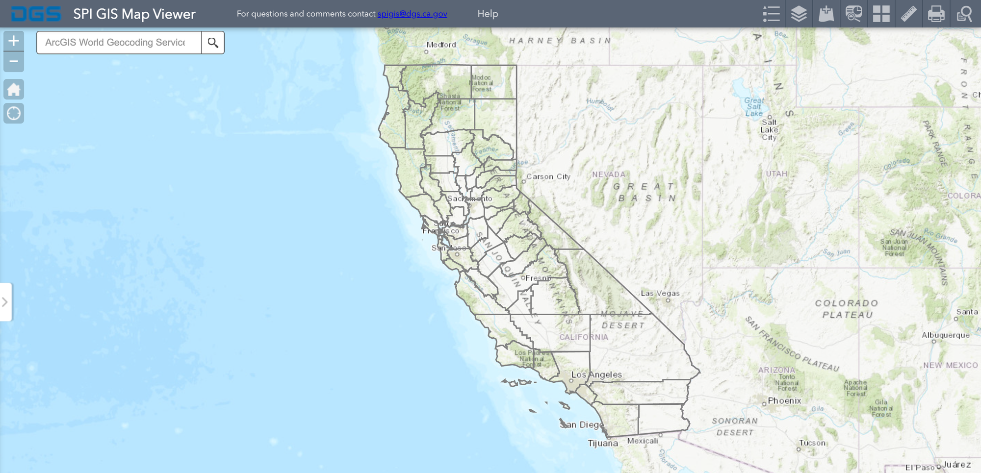
California's Statewide Property Inventory (SPI) tracks state-owned and leased land and buildings. It's an essential resource for property management and state-level decision-making.
- Comprehensive data on state-owned and leased properties
- Regularly updated electronic records
- Supports strategic asset management and land-use planning
Public Lands and Recreation Maps
Bureau of Land Management (BLM) California Maps
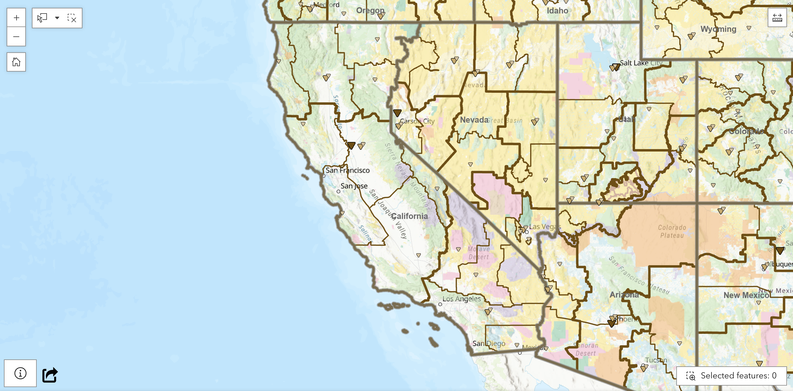
The Bureau of Land Management (BLM) provides extensive mapping resources highlighting public lands and recreational opportunities throughout California. These include:
Map Viewer/Interactive Map - This interactive online map system helps you easily find, view and create maps by turning on or off layers.
Maps and Brochures - The BLM California Public Room has a wide range of maps and brochures to help you plan your next trip.
Georeferenced PDF Maps - No cell coverage is necessary with these georeferenced maps, compatible with any georeferenced map mobile application.
Geospatial Business Platform Hub - Download Geospatial (GIS) Data - The Bureau of Land Management California data library lets users access geospatial data sets as either a downloadable ESRI file geodatabase, or through Web Services.
Story Maps - Maps and stories about some of the BLM's favorite places:
- Cosumnes Watershed Restoration Landscape
- My Public Lands Road Trip
- Camp Iron Mountain
- Desert Renewable Energy Conservation Plan
- Discover the Desert
- Discover the Desert's National Trails
- Yuha Desert Cultural History Audio Tour
California Department of Conservation
The California Department of Conservation provides valuable maps and GIS tools for effective land management, agricultural planning, and resource conservation.
- Maps covering agriculture, oil & gas, geothermal resources
- Tools for land-use planning, including TerraCount (greenhouse gas scenario planning)
- Carbon estimation tools like CREEC (riparian ecosystem carbon estimator)

Geologic and Hazard Maps
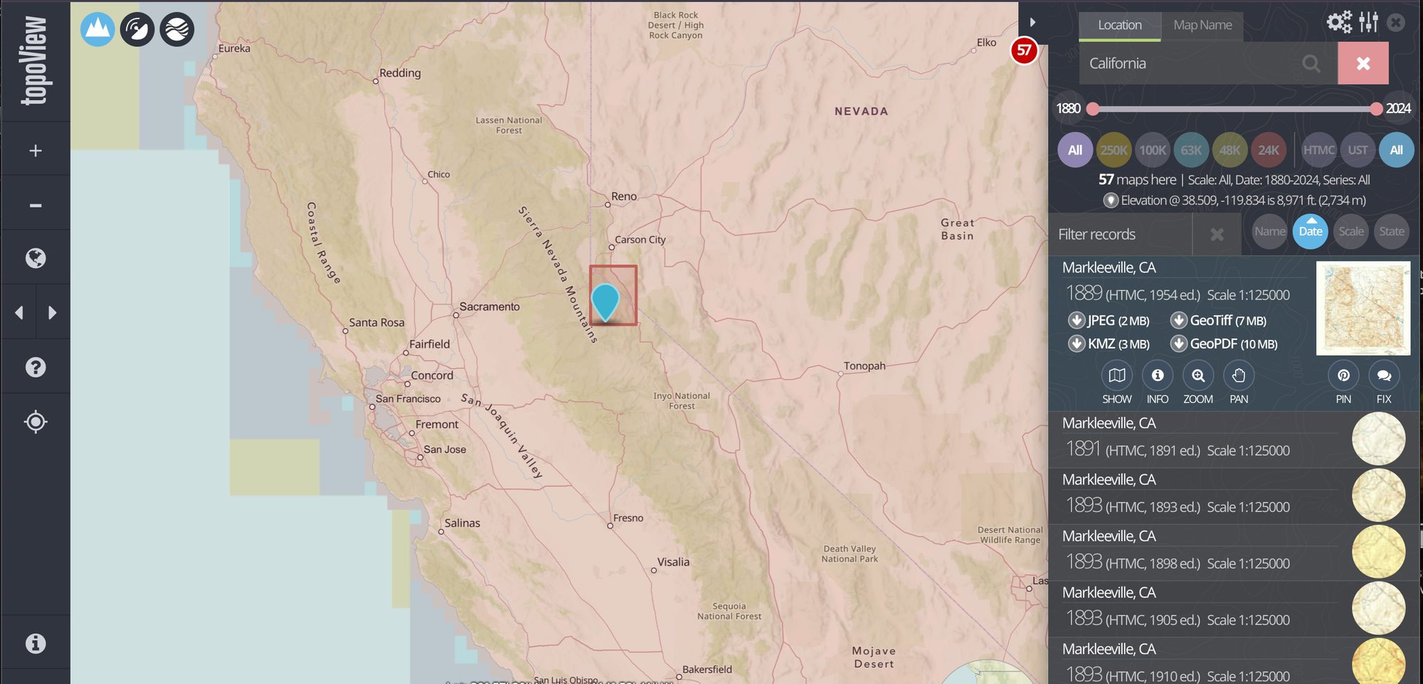
U.S. Geological Survey (USGS) – The National Map
The USGS National Map provides detailed geologic and topographic maps essential for environmental research, hazard planning, and land management.
- Detailed topographic maps (digital and printable)
- Comprehensive geological frameworks
- Historical topographic map archives
Additional USGS Mapping Resources
Access an extensive collection of geologic maps and related resources through the USGS National Geologic Map Database.
- Extensive catalog of geological maps
- Easy download of high-quality geospatial data
- Valuable resource for researchers, students, and professionals
California Geological Survey (CGS)
The California Geological Survey offers specialized maps focusing on geological features and hazards across California.
Geologic Features:
- Regional Geologic Maps (learn more about geologic mapping.)
- Quaternary Surficial Deposits of Southern California (web application)
- Special Report 217: Geologic Compilation of Quaternary Surficial Deposits in Southern California (PDF and GIS data downloads)
- Watershed Geology and Geomorphic Features Related to Landsliding
- Map Sheet 57: Geology of California - Regular Edition (26x30 inches)
- Map Sheet 57: Geology of California - Educator's Edition (18x24 inches)
- Map Sheet 57: Simplified Geologic Map of California (20x23 inches)
- General Geology of California (web application)
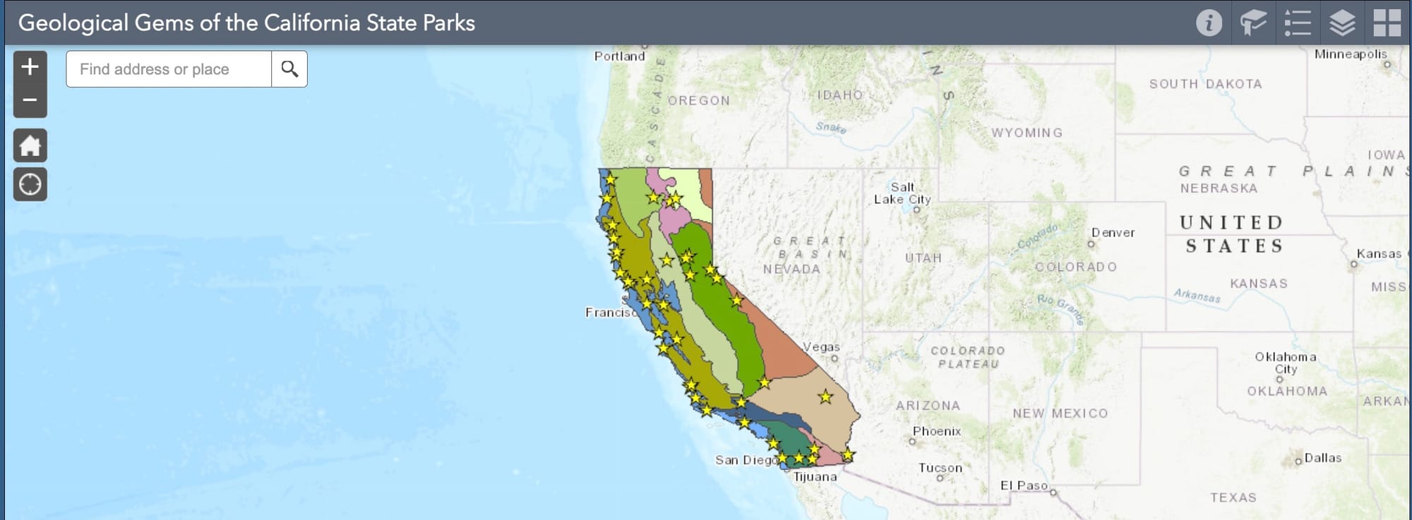
- Geological Gems of the California State Parks (web application)
- History of Statewide Geologic Maps of California
Landslide Hazards:
- California Landslide Inventory (web application)
- Information Warehouse: Landslide Maps and Reports (web application) - Find and download landslide maps and reports in PDF.
- Map Sheet 58 (PDF): Susceptibility to Deep-Seated Landslides in California (2011)
- Map Sheet 58 GIS data download (raster dataset)
- Wildland Fire Perimeters and Deep Landslide Susceptibility (web application)
- Watershed Geology and Geomorphic Features Related to Landsliding
Mineral Hazards:
- Indoor Radon Potential (web application)
- Map Sheet 59: Reported Historic Asbestos Mines, Historic Asbestos Prospects, and other Natural Occurrences of Asbestos in California
- Asbestos Reports, Maps, and Guidelines for Geologic Investigations
Earthquake Faults, Shaking, Landsliding, and Liquefaction:
- Borehole Database Explorer (web application)
- EQ Zapp: California Earthquake Hazards Zone Application (web application)
- Information Warehouse: Regulatory Maps and Reports (web application)
- Preliminary Regulatory Maps and Reports
- Fault Activity Map of California (web application)
- Historic Earthquake "Felt Reports" Database and Map (web application)
- Map Sheet 48: Earthquake Shaking Potential for California
- Map Sheet 49: Epicenters of and Areas Damaged by M≥5 California Earthquakes, 1800-1999
- Map Sheet 54: Faulting in California - Regular Edition (26x30 inches)
- Map Sheet 54: Faulting in California - Educator's Edition (18x24 inches)
- ShakeMaps
- Strong-motion Earthquake Data and Reports
Tsunamis:
Mineral Resources:
- Information Warehouse: Mineral Land Classification/SMARA Maps and Reports (web application)
- Miscellaneous Map 9: Map of California Historic Gold Mines
- Map Sheet 52: Aggregate Sustainability in California
Bookmark this Page for the Latest California Mapping Updates
Official California maps and resources provide essential tools for informed decision-making, exploration, and responsible land and resource management. Utilize these authoritative source and those added to this page in the future to gain accurate, up-to-date insights into California’s diverse landscapes and infrastructures, ensuring preparedness and enriching your understanding of our dynamic state.