
Stark beauty at Bloody Mountain: A hidden Sierra gem with a (potentially) grisly past
Towering over Highway 395, one peak stands apart with its rust-colored slopes and an unforgettable name. Learn the story and the summit views of this overlooked Eastern Sierra adventure.

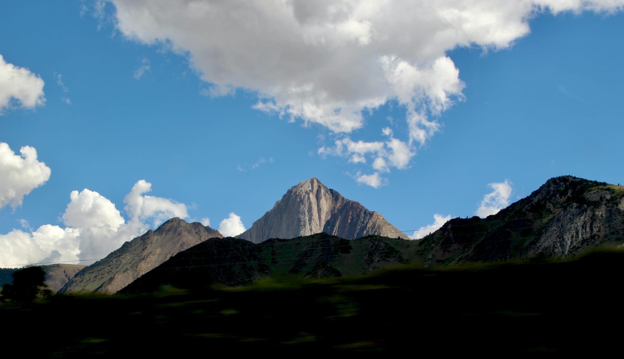
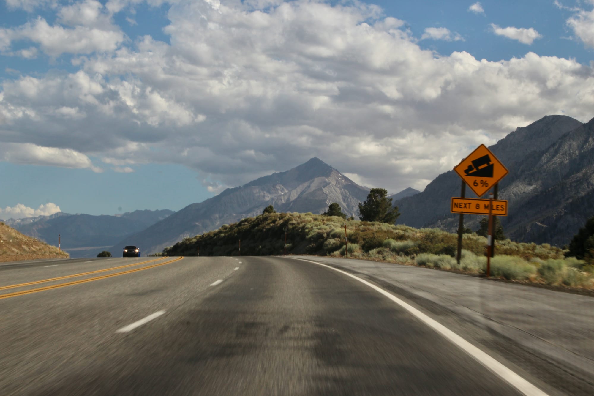
Driving Highway 395, the peaks of the Eastern Sierra demand attention. Yet one mountain, with a reddish scree and ominous moniker, holds a story few know. This is Bloody Mountain, a true hidden gem towering over the Long Valley Caldera, offering a rewarding challenge for those willing to venture off the beaten path.
Bloody Mountain At a Glance
- Location: Mono County, near Mammoth Lakes, California
- Elevation: 12,544 feet (3,823 m)
- Best Time to Visit: Late spring to early fall (when snow-free)
- Difficulty: Strenuous off-trail scramble (Class 2)
- Highlights: Unbeatable panoramic views of the Sierra Crest, Long Valley Caldera, and the White Mountains. Fascinating geology and a quiet summit.
The Story: What's in a Name?
Bloody Mountain’s grim name has two possible origins. As California Place Names explains, “The slope of this peak was said to have been the scene of a bloody fight between escaped convicts and a posse in September, 1871. See Convict Lake.” But the same source also points out that early Mono Basin surveyor Frederick Wheelock believed the name came instead from the mountain’s striking red, iron-stained rock.
The View from Above: An Astronaut's Perspective
Before you tackle the trail, let's get a sense of scale. Thanks to our partnership with NASA, you can explore Bloody Mountain and its immense surroundings from orbit. In the NASA Worldview embed below, notice how the mountain sits on the southern rim of the massive Long Valley Caldera, a supervolcano that shaped this entire landscape. You can also spot Mammoth Mountain to the north and Crowley Lake shimmering in the valley below.
The Experience: Why Visit Bloody Mountain
This mountain offers a unique reward for different types of adventurers.
For the Hiker
This is not a maintained trail. The ascent is a challenging "use-trail" and scramble that will test your endurance and navigation skills. The reward is profound: solitude and a sense of raw accomplishment you simply can't find on more crowded peaks.
For the Photographer
The 360-degree panorama from the summit is breathtaking. You'll have unobstructed views of the Ritter Range and The Minarets to the west, Mount Morrison (the "Eiger of the Sierra") right next door, and the ancient White Mountains to the east. Sunrise or sunset will light up the landscape in unforgettable color.
For the Geologist
Standing on the summit is like having a front-row seat to a geology lesson. You are on the edge of a massive caldera, surrounded by volcanic rock and glacial cirques. The forces that shaped this land are on full display.
Know Before You Go: The Essentials
Getting There
The most common starting point is the Laurel Lakes Road turnoff from US-395, south of Mammoth Lakes. The dirt road is rough; a high-clearance vehicle is strongly recommended, and 4WD may be necessary depending on conditions.
The Hike
Expect roughly 6-7 miles round trip with about 4,500 feet of elevation gain. This is a cross-country route requiring solid navigation skills. Do not attempt it without a map, compass, and/or a reliable GPS device.
What to Pack
Bring trekking poles for the steep scree, plenty of water (there is none on the route), and robust sun protection, as there is virtually no shade. Layered clothing is a must.
Safety First
Be aware of the risks of high altitude and the Sierra's rapidly changing weather. Pack a headlamp and extra food. Always practice Leave No Trace principles to preserve this wild place.


