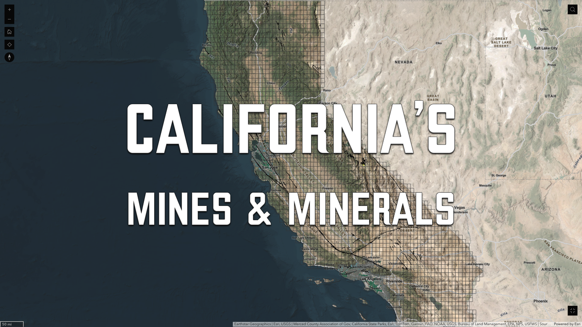
California Geological Survey updates interactive earthquake and tsunami hazard maps
Four authoritative CGS tools are now available in one place, helping Californians assess earthquake and tsunami risk.


The California Geological Survey (CGS) has released four official interactive maps that provide critical data on earthquake fault zones, seismic hazard zones, site-specific fault investigations, and tsunami risk areas. These tools are designed to help residents, planners, and emergency managers understand geologic hazards across California.
Each map below is accompanied by a short summary, followed by a toggle containing the full, unedited description sourced directly from the CGS website. This ensures transparency while keeping technical information organized and accessible.
Note: The tools below may not be visible on your browser if the server from which you are accessing this page is located outside of California.
Earthquake Zones of Required Investigation
EQ Zapp visualizes California’s regulatory earthquake hazard zones, which local agencies must use to guide land-use decisions.
These zones highlight areas with potential for surface fault rupture, liquefaction, and landslides triggered by earthquakes. The data supports both public safety planning and mandatory real estate disclosures.
View official CGS description
Text quoted directly from the official CGS website:
The Alquist-Priolo Earthquake Fault Zoning Act (1972) and the Seismic Hazards Mapping Act (1990) directs the State Geologist to delineate regulatory “zones of required investigation” to assist cities, counties and state agencies (lead agencies) in fulfilling their responsibilities for protecting the public safety from the effects of earthquake-triggered ground failure. Lead agencies affected by the zones must regulate certain development “projects” within them. These Acts also require sellers of real property (and their agents) within a mapped hazard zone to disclose that the property lies within such a zone.
The CGS regulatory zone map data presented in this application provide a full resolution digital representation of the Official Zone Maps for fault rupture, liquefaction and seismic landslide hazards in California. As such, they offer an alternate mode of viewing and utilizing these data to GIS files available in the CGS Information Warehouse. However, GIS data on the Information Warehouse are still regarded as the authoritative source of zone map data.
Earthquake Zones of Required Investigation Maps and Reports
Formerly referred to as "Regulatory Maps," this tool lets users download California's Earthquake Zones of Required Investigation Maps, along with seismic hazard reports and fault evaluation records.
These resources are used by developers, planners, and buyers to understand and comply with laws governing construction in hazardous zones.
View official CGS description
Text quoted directly from the official CGS website:
Use this app to find and download CGS Earthquake Zones of Required Investigation Maps (EZRIM), Fault Evaluation Reports (FER), and Seismic Hazard Zone Reports (SHZR). These publications provide information regarding official earthquake fault zones, liquefaction zones, and earthquake-induced landslide zones.
The Alquist-Priolo Earthquake Fault Zoning Act (1972) and the Seismic Hazards Mapping Act (1990) direct the State Geologist to delineate regulatory "Zones of Required Investigation" to reduce the threat to public health and safety and to minimize the loss of life and property posed by earthquake-triggered ground failures.
Cities and counties affected by the zones must regulate certain development "projects" within them. These Acts also require sellers of real property (and their agents) within a mapped hazard zone to disclose at the time of sale that the property lies within such a zone.
Related Resources:
Alquist-Priolo Site Investigation Reports
The APSIR tool allows the public to explore site-specific fault investigation reports filed under the Alquist-Priolo Earthquake Fault Zoning Act.
These reports provide valuable geological insights for development, research, and hazard mitigation near fault zones.
View official CGS description
Text quoted directly from the official CGS website:
What are Alquist-Priolo Site Investigation Reports?
Alquist-Priolo Site Investigation Reports (APSIRs) are reports documenting fault investigations conducted at sites within the State of California. These site investigations are typically triggered by the requirements of the Alquist-Priolo Earthquake Fault Zoning Act (AP Act) for new projects within Earthquake Fault Zones (EFZs) of Required Investigation. The AP Act also requires that local governments submit a copy of all approved reports done in compliance with the AP Act to the California Geological Survey (CGS) and that these reports be placed on open-file. The database of APSIRs maintained by CGS may also include site investigation reports conducted for projects outside of existing EFZs where fault investigations have been triggered by local jurisdictional regulatory requirements or as part of some other site-specific assessment of fault rupture hazards.
How do I search for and access an APSIR?
The APSIR web mapping tool is intended to allow the user to easily search for and access APSIRs by location using a map interface or other common queries (e.g. street address, local jurisdiction, fault name). Please refer to the information tool for more information regarding how to navigate, search, and access APSIRs from the online tool.
Where do the reports come from?
The Alquist-Priolo Earthquake Fault Zoning Act (California Code of Regulations, Section 3603(f)), requires that lead agencies file copies of geological reports of fault studies with the State Geologist. The CGS APSIR database also includes site investigation reports received from other entities or collected by CGS during a fault evaluation for establishing Alquist-Priolo Earthquake Fault Zones of Required Investigation.
Who is interested in these reports and what are they used for?
Professional geologists, engineers, lead agencies, research scientists, and property owners are the primary users of APSIRs. Typically, these reports will be used as background research and supporting documentation regarding fault rupture hazards for new developments in an area, as well as assessing risk to existing infrastructure in areas near mapped faults. These reports also provide valuable data for regional fault mapping conducted by CGS and other researchers.
Is the database of APSIRs that CGS maintains up-to-date and complete?
While CGS strives to maintain a complete inventory of APSIRs, we cannot guarantee the database is complete and up to date. The database is typically updated annually with new reports that are received over the past calendar year. Furthermore, not all lead agencies (Cities and Counties) regularly submit APSIRs that are completed within their respective jurisdictions. Consequently, the database of reports that CGS maintains may not be a complete inventory of APSIRs conducted throughout the State.
What is the “Earthquake Fault Zones of Required Investigation” layer?
CGS Earthquake Fault Zones of Required Investigation are intended to trigger site-specific geologic/geotechnical studies for new developments and reconstruction of existing structures for human occupancy, so hazards related to surface fault rupture can be identified and mitigated prior to construction. Many of the site investigations in the CGS APSIR database were generated as a result of proposed development within these regulatory zones.
What is the “Quaternary Faults” layer?
The Quaternary Faults layer depicts mapped faults in California with evidence of displacement during Quaternary time. Faults shown are categorized by recency of movement, which includes historic movement (during the past ~200 years), Holocene movement (~11,000 years and younger), Late Quaternary movement (during the past ~700,000 years), and undifferentiated Quaternary movement (during the past ~1.6 million years). These faults have been compiled in the Active Fault Database, which is maintained by the California Geological Survey and is shared with the U.S. Geological Survey as part of the national USGS Quaternary Fault and Fold Database.
Why does the Quaternary Faults layer disappear when I zoom in on the map?
The Quaternary faults are mapped at a regional, rather than a site-specific (parcel) level of detail. Because of this, the fault traces may have large location uncertainties if viewed at a scale larger than the original source mapping. The Quaternary Faults layer will automatically turn off when the user is zoomed in too far. For additional information regarding the source mapping scale, the user should refer to the U.S. Geological Survey’s Quaternary Fault and Fold database where the mapping source information is maintained.
How do I access APSIR geographic information systems (GIS) data?
APSIR GIS data is distributed by CGS as a GIS feature service. For more information how to access this data as a feature service, please visit: CGS GIS Server
Where can I learn more about the Alquist-Priolo Earthquake Fault Zoning Act?
Please refer to the CGS Alquist-Priolo Earthquake Fault Zones webpage to learn more about the AP Act’s requirements.
How do I cite the data download from this database?
When you use this data, please provide proper acknowledgment. Because there are many contributors to the database, the citation will depend on which data you are using. A suggested citation for reports downloaded from this database should acknowledge both the CGS APSIR database, as well as the reference to the site investigation report.
For example, the reference information about an APSIR viewed online on July 1, 2021 would look like:
California Geological Survey (2021) Site Investigation Reports received by the Alquist-Priolo Earthquake Fault Evaluation and Zoning Program, 1974-present, accessed July 1, 2021, at: [insert URL]. APSI report number APSI_001000, Burkland and Associates (1978) Geological and Seismic Hazards Investigation, Tonnelli Property, San Jose, CA, 41p.
Can I submit a report for a fault investigation to the CGS APSIR database?
CGS welcomes electronic submissions by lead agencies of APSIRs conducted by licensed professionals and qualified researchers. Lead agencies may upload electronic copies of fault investigation using the CGS online upload tool.
Licensed geologists and engineers may also use this tool to upload fault investigation reports that they have conducted. However, please note that licensed professionals should obtain permission from their client regarding releasing proprietary information prior to uploading a report. Text quoted directly from the official CGS website
Tsunami Hazard Area Map
Created for emergency planning, this map outlines areas of potential tsunami inundation from rare but plausible tsunami events.
This tool is intended to help coastal cities and counties prepare evacuation plans, not for regulatory purposes like property disclosures.
View official CGS description
Text quoted directly from the official CGS website:
The Tsunami Hazard Area (shaded yellow on map) was prepared to assist cities and counties in identifying their tsunami hazard for tsunami response planning. The hazard area represents the maximum considered tsunami runup from several extreme, infrequent, and realistic tsunami sources. These data are intended for local jurisdictional, coastal emergency planning uses only.
This map, and these data and the information presented herein, is not a legal document and does not meet disclosure requirements for real estate transactions nor for any other regulatory purpose. Tsunamis are rare events; due to a lack of known occurrences in the historical record, this map and these data include no information about the likelihood of any tsunami affecting any area within a specific time period.
The Tsunami Hazard Area Map was compiled with the best currently available scientific information and represents an area that could be exposed to tsunami hazards during a tsunami event. It is primarily based on inundation limits corresponding to a 975-year average return period tsunami event model. These limits have been extended to reflect potential local tsunami sources not considered in probabilistic analysis and are also modified to reflect the practical need to define limits that coincide with geographic features or city streets.
Additional information
State of California Geological Survey Tsunami Information
California Tsunami Preparedness Guide
The California Geological Survey is a division of the Department of Conservation.
Conclusion
Together, these four maps give Californians, planners, developers, and emergency officials unprecedented access to detailed geological hazard data—all compiled and maintained by the California Geological Survey. Whether you’re researching a property, preparing for a natural disaster, or making land-use decisions, these resources offer a critical foundation for safer communities.
For questions about each map’s interpretation or data source, we recommend visiting the CGS official site or contacting your local jurisdiction’s planning or emergency management office.
Related Articles