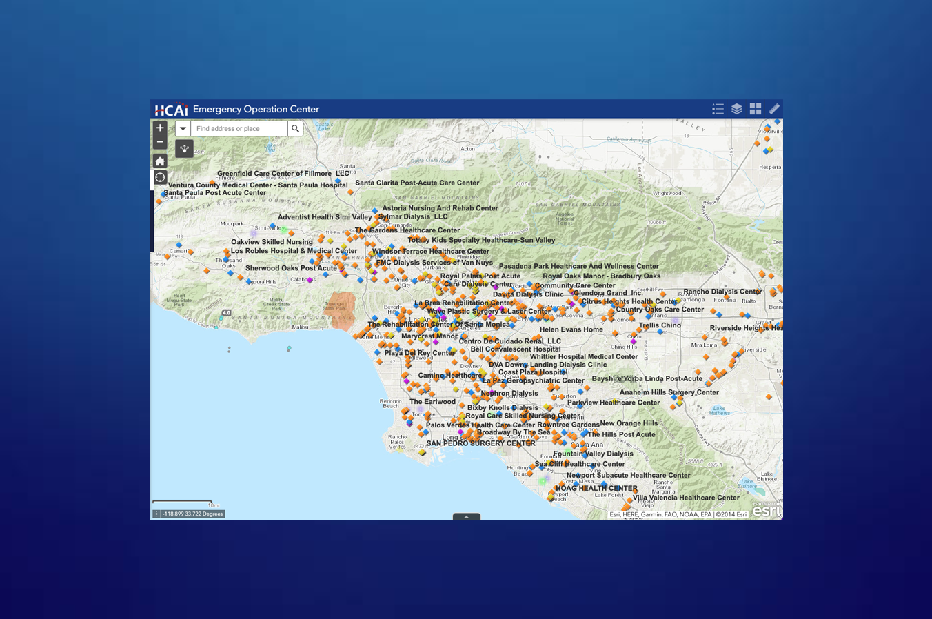
Find Real-Time Emergency Health Facility Data Across California
This live map, developed by the California Department of Health Care Access and Information (HCAI), provides an interactive way to explore medical facilities across the state—especially during wildfires, earthquakes, and other emergencies.
Use the tool above to:
- Search for hospitals by county or ZIP code
- Locate dialysis centers and nursing homes affected by Public Safety Power Shutoffs (PSPS)
- Identify licensed healthcare facilities at risk during a disaster
- Monitor facility density in high-risk zones such as Los Angeles and Northern California
Data on this map is updated regularly with data from the CHHS. Whether you're a local agency, journalist, or concerned resident, this tool allows you to assess emergency preparedness and facility access in real time.


