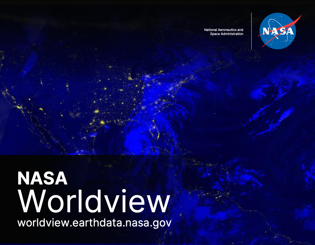
What is NASA Worldview?
NASA Worldview is a powerful application from NASA’s Earth Science Data and Information System (ESDIS), offering daily global imagery with updates typically available within three to four hours of satellite observations. Imagery dates back to the year 2000, enabling exploration of two decades of changes and trends.
Key Features:
- Daily Updated Imagery: High-resolution, nearly real-time global satellite imagery.
- Interactive Maps: Easy to browse, zoom, and pan across California and beyond.
- Natural Hazard Monitoring: Track wildfires, floods, storms, and more.
- Animated Imagery: Create animated GIFs to watch environmental changes over time.
- Compare Imagery: View side-by-side comparisons for historical or seasonal analysis.
- Embeddable Maps: Seamlessly integrate interactive maps into articles and reports.
How to Use the Interactive Maps

Getting Started:
- Navigate to your area of interest on the map.
- Use the Add Layers feature to select relevant data layers by keyword, natural hazard, or science discipline.
- Adjust date ranges using the built-in timeline.
Creating and Sharing:
- Snapshots: Quickly generate and download images (JPEG, PNG, GeoTIFF).
- Animations: Visualize how California changes through time by generating animated GIFs.
- Comparisons: Use swipe or opacity features to visually compare different times or data sets.
- Sharing: Easily embed or share direct links to interactive maps highlighting specific events or features.
Why NASA Satellite Imagery Matters for California
California faces unique environmental challenges, including wildfires, droughts, flooding, and coastal erosion. NASA Worldview maps provide crucial, timely visuals and data, enhancing public awareness and aiding decision-makers, researchers, businesses, and residents.
Explore Our California-Specific Maps
- Wildfires: See active fires, smoke patterns, and burn scars.
- Weather Patterns: Track severe weather events, atmospheric rivers, and storms.
- Drought Monitoring: Visualize vegetation health, soil moisture, and water resources.
- Coastal Changes: Observe erosion, sea-level impacts, and marine conditions.
- Air Quality: Monitor smoke, pollution, and aerosol concentrations statewide.
Dive deeper into California’s climate, environment, and unique beauty—all through the unmatched perspective of NASA satellite imagery.
Start Exploring Now
Experience California’s landscape in a whole new way:
NASA Worldview imagery is provided by NASA’s Global Imagery Browse Services (GIBS). For more detailed guidance, explore the official NASA Worldview website.


