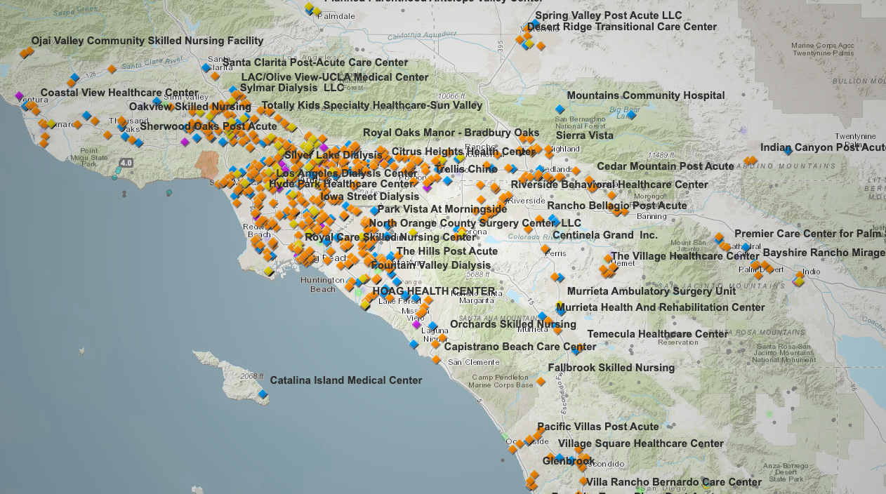
Search hospitals and disaster relief centers across California with this interactive tool
A statewide mapping tool from California’s Department of Health Care Access and Information (HCAI) now lets the public track hospitals, nursing homes, and dialysis centers to help plan for disasters.
A public-facing emergency preparedness tool is now available online, offering real-time access to hospital and healthcare facility locations across California.
Developed by the California Department of Health Care Access and Information (HCAI), the tool supports emergency response during wildfires, earthquakes, and Public Safety Power Shutoffs (PSPS).
The tool above displays the location and type of facilities including, but not limited, to:
- Acute care hospitals
- Dialysis centers
- Skilled nursing and post-acute care facilities
- Mental health treatment centers
Each facility is mapped and color-coded by type, with filtering and zoom tools available for users to search by address, city, or region. Recent updates have improved visibility for high-density areas like Los Angeles, and the map currently reflects the latest 2025 data.
The application is freely accessible and regularly maintained by HCAI to support disaster preparedness and response coordination across the state.
▶ Explore the map now on our California emergency health dashboard.


