Live map: Where California's gray wolves are right now
A live map tracking California's GPS-collared gray wolves, built on the same CDFW satellite-collar feed behind the state's official Wolf Location map. Updated every morning, with each wolf's pack and last known area.

The data comes from the California Department of Fish and Wildlife's Wolf Location Automated Mapping System, the state's public satellite-collar feed. GPS collars record each wolf's position several times a day and transmit once every morning; the map shows the most recent location as a generalized hexagon—CDFW blurs exact coordinates to protect the animals, which are endangered under both California and federal law.
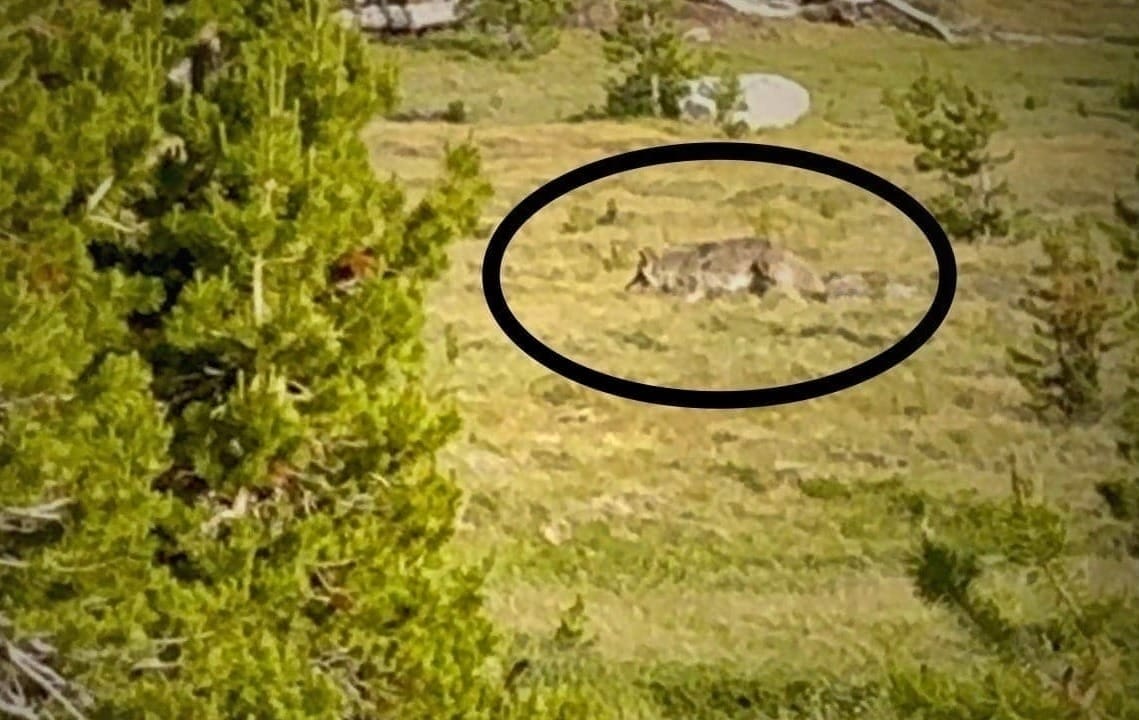
Only a fraction of California's roughly 90 wolves, in about a dozen known packs, wear collars—so this is a window into tracked individuals, not a full count.
Locations are deliberately generalized to protect endangered wolves and show only collared individuals — not a full count of California’s wolves. Source · CDFW Wolf Location Mapping System, powered by EarthRanger.
Notes on reading the California wolf map:
Each hexagon is a generalized area, not a pinpoint—CDFW deliberately coarsens every wolf's location so the map can't be used to find or disturb an animal.
The color marks the wolf's pack of origin, and clicking a hexagon shows the wolf's ID and the date it last checked in.
Because only collared wolves appear—a small share of California's roughly 90—and because den-site hexagons are hidden during pup season, an empty stretch of map does not mean no wolves are there.
Satellite collars also report just once a day, so any location can be several hours to a day behind the animal.
Sources and Methodology
Wolf locations are drawn from CDFW's public Wolf Location Automated Mapping System (powered by EarthRanger) — the same generalized satellite-collar data behind the state's official wolf map. Each hexagon marks the most recent morning transmission for one collared wolf, colored by its pack of origin; exact locations are withheld by CDFW to protect the animals. Statewide population figures — about 90 wolves across a dozen known packs, concentrated in Siskiyou, Modoc, Shasta, Tehama, Lassen, Plumas and Sierra counties — come from CDFW's 2026 gray wolf update. During pup-rearing season (roughly April through August), CDFW turns off the hexagons near active den and rendezvous sites, so some collared wolves won't appear. This map is for understanding where wolves are recovering—not for locating or approaching them. Harming a gray wolf is a crime under state and federal law. The map reflects CDFW's once-a-morning satellite updates and refreshes automatically.
What to Read Next: